
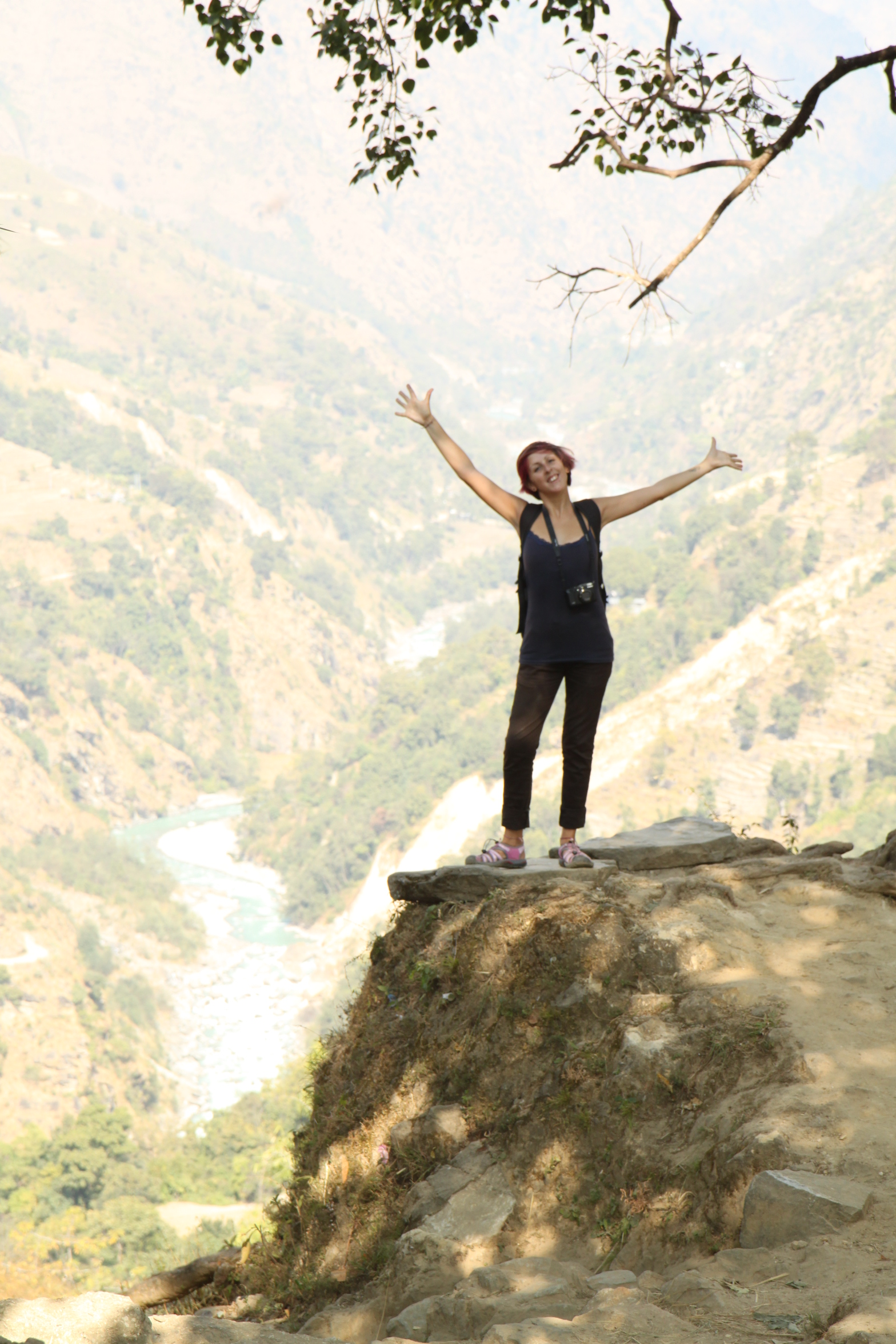
I have walked a very, very long way. A very long way!
I worked it out to be 83.5 Miles in total walked, with an incline of 5014 metres (I was already 402 metres)…I’d say that was a pretty epic amble indeed.
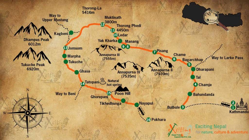
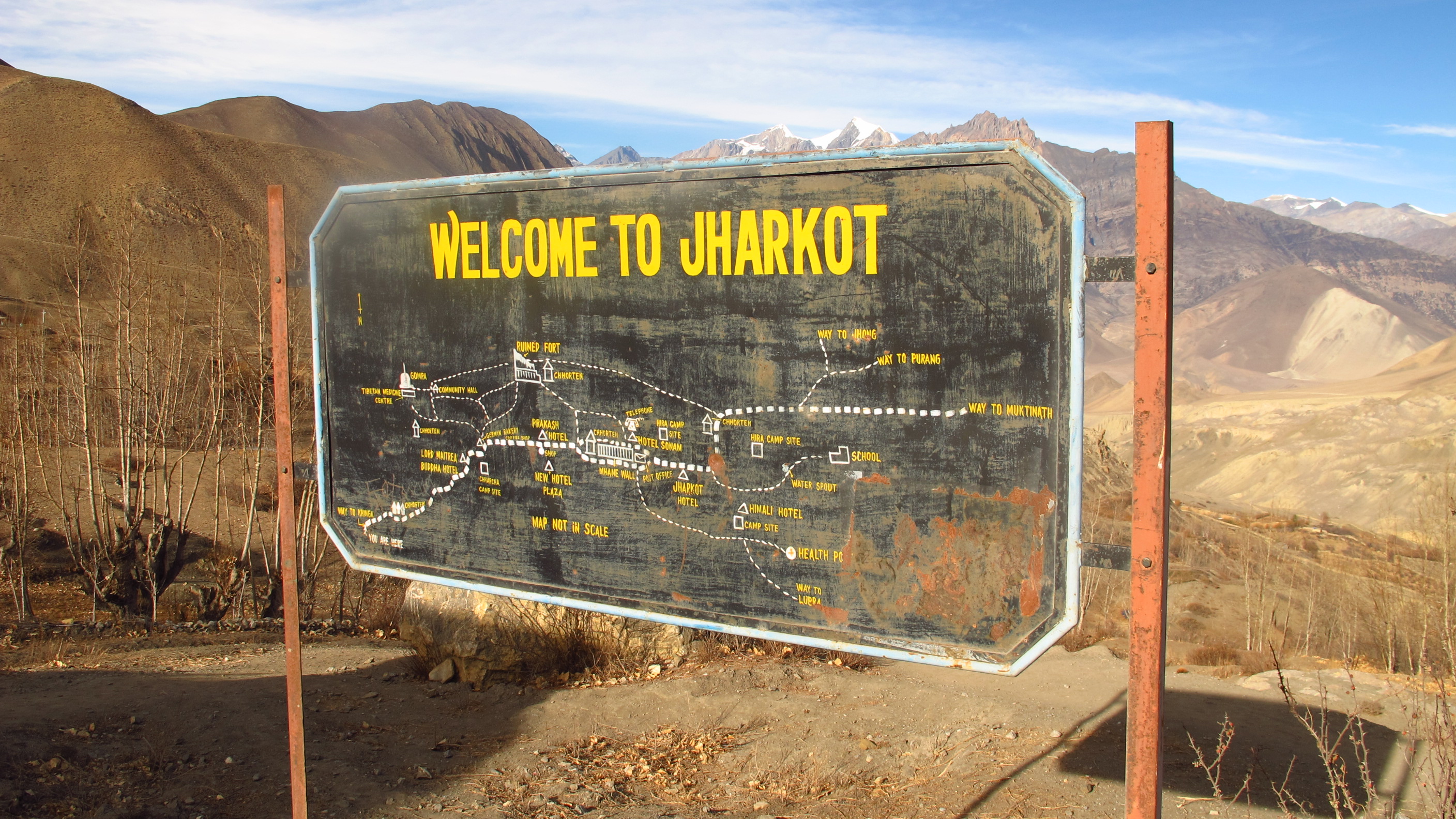
The map in the image block shows where I walked; I started in Pokhara, getting the bus to ‘3’ on the map, Bulbule, and walking round, in numerical order, until ‘Ghasa’, where I got on another bus, stopping in a few places before heading back to Pokhara.
Day 1: Pokhara – Bulbule
Walked: 0 miles – risen: 840 metres
Waking up at 7.30am and using the (extremely hot) shower was my last piece of luxury for a few weeks! I sorted out the last few bits of my luggage and popped the remaining bags into the luggage store room.. basically the owners bedroom…The room came with breakfast, I had a sort of fry up, probably not the best food for the start of a trek, but meh!
The hotel kindly called a taxi and after some frantic moments when the ATM wouldn’t process the card, I was soon on my way.
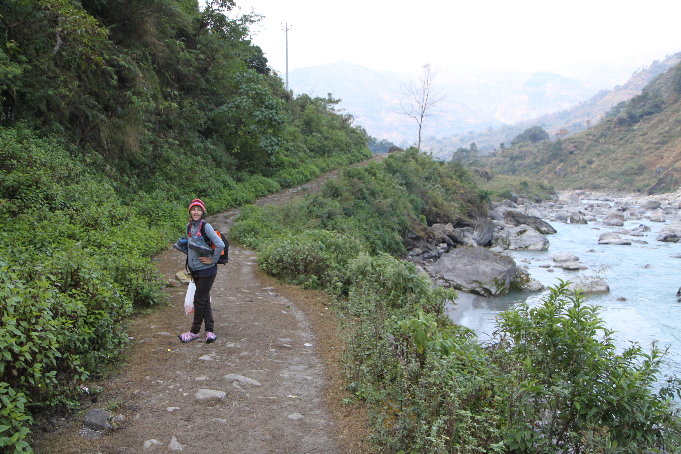
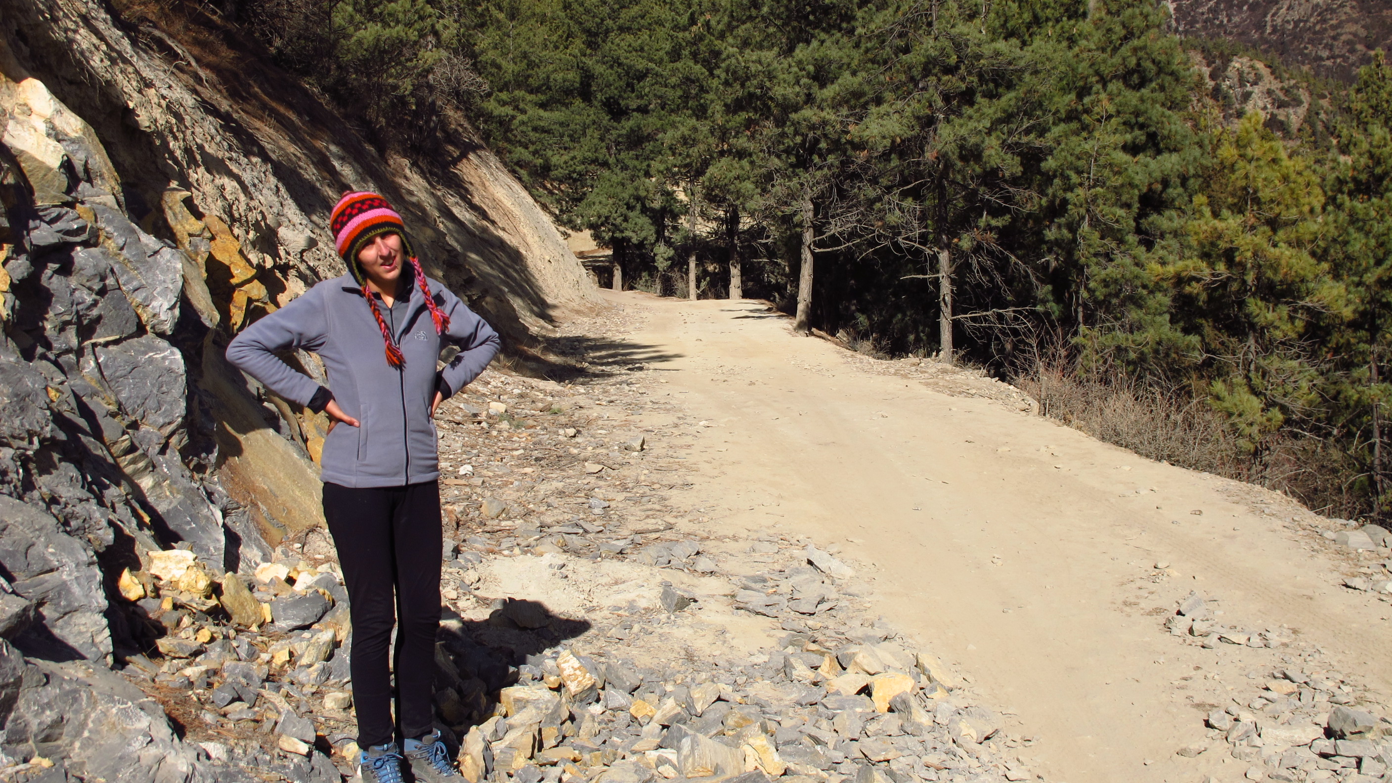
The minibus to Besisahar only took around two hours. I shared the minibus with a small group of backpackers also on their way to the trek. They were a Brit, an American and a Canadian. The journey went by within a jiffy and I soon arrived at Besisahar, ready to take on the trek…or something like that…From Besisahar, you either walk the remaining 5.9 miles to the next point, or catch a bus or shared jeep. Having decided to unlace my boots on the minibus I was up for the bus/jeep option…the guidebook does say to get the bus!
I got a bit confused when I had to catch the next bus, first waiting in the wrong place and then walking off in a random direction. The people in the village were telling me what to do, but because of the language barrier I was getting a little confused and we kept misunderstanding each other 🙂
Eventually I found the correct bus and climbed aboard, ready to get to Bhulebule…which took longer than I thought! The bus kept stopping and cramming more people in and then rearranging with each stop. The road was not really suitable for the bus and on the map it actually labels it as a ‘Jeep Trail’. There were even people sitting on the roof! It was so much fun!
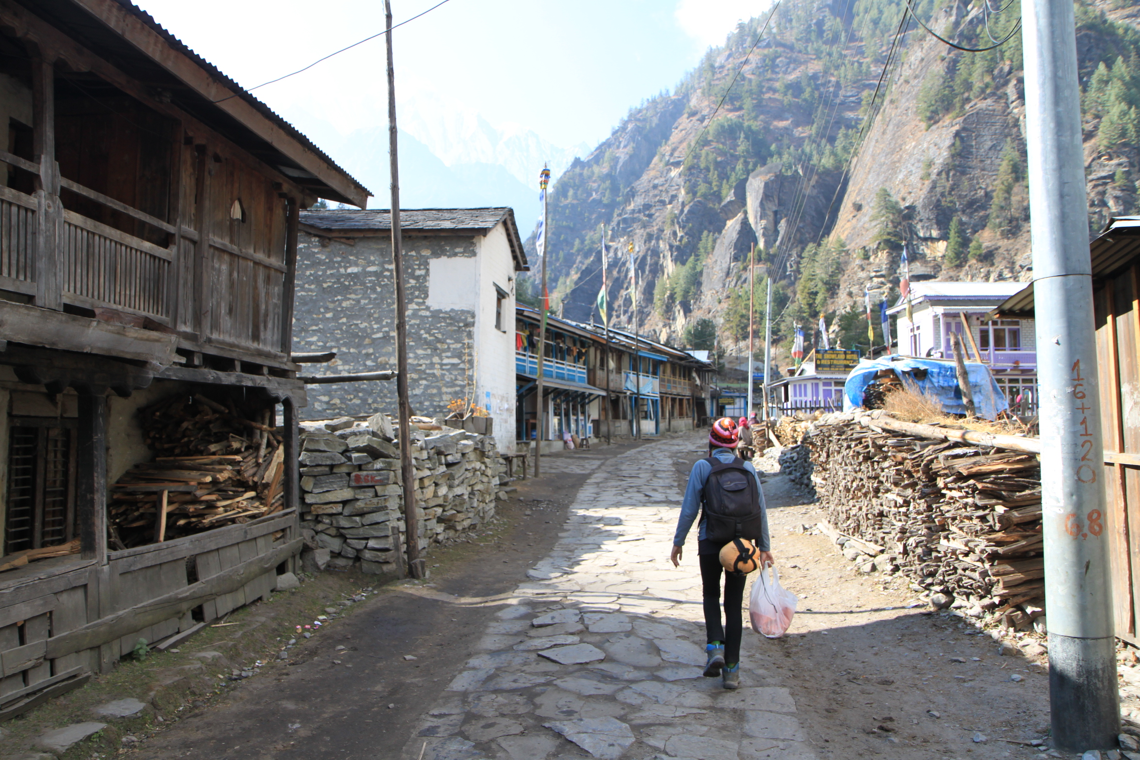
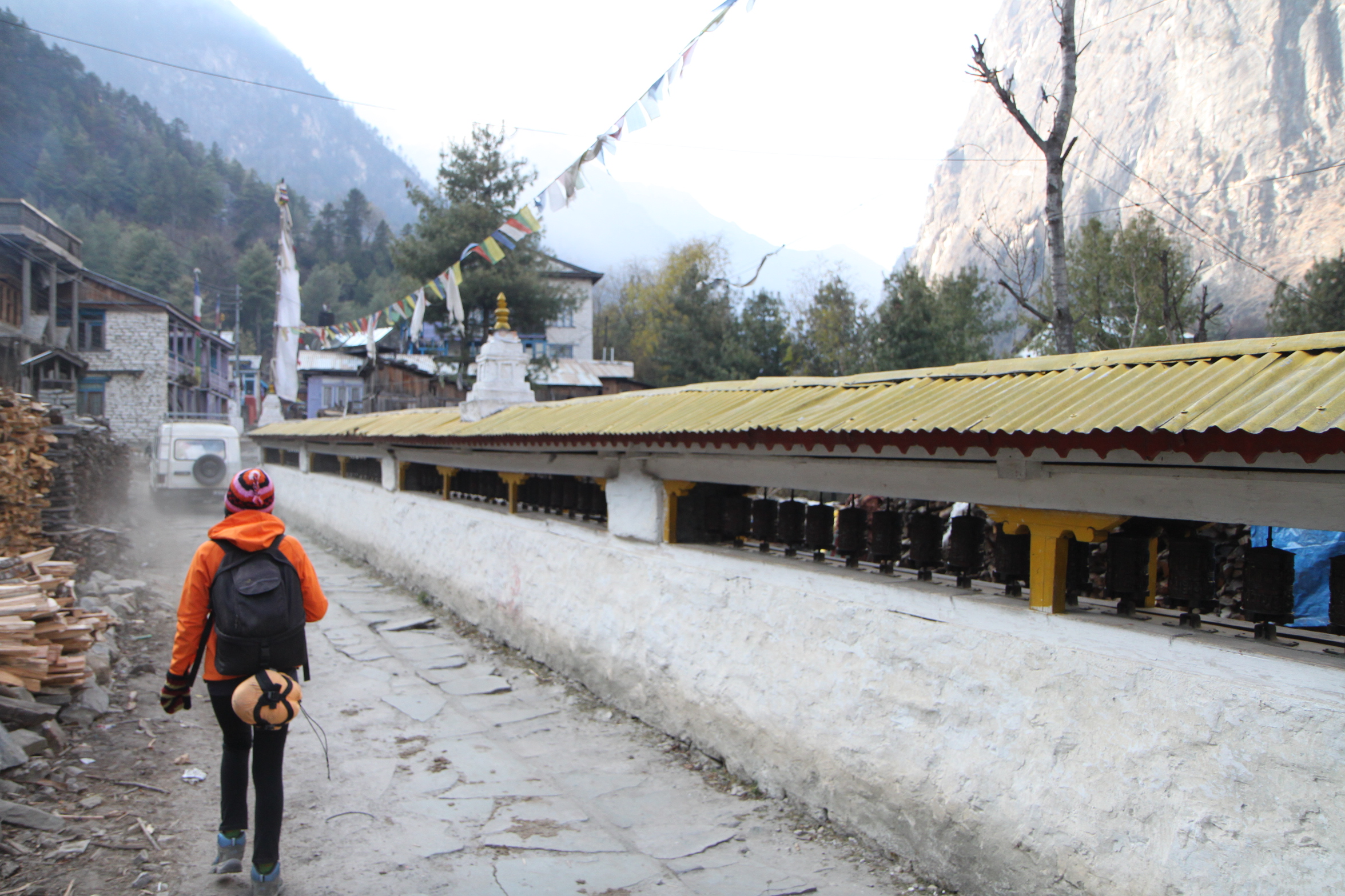
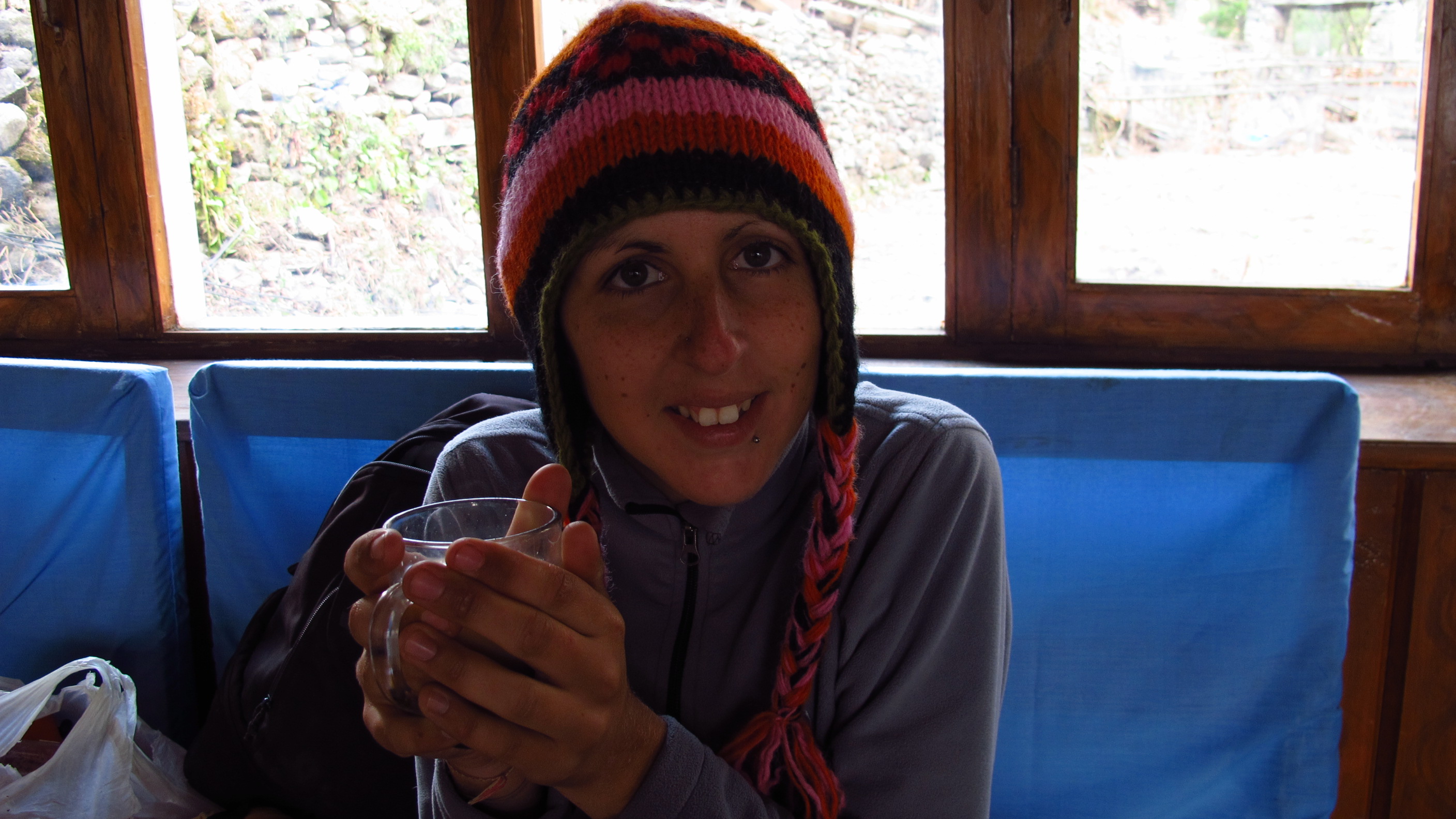
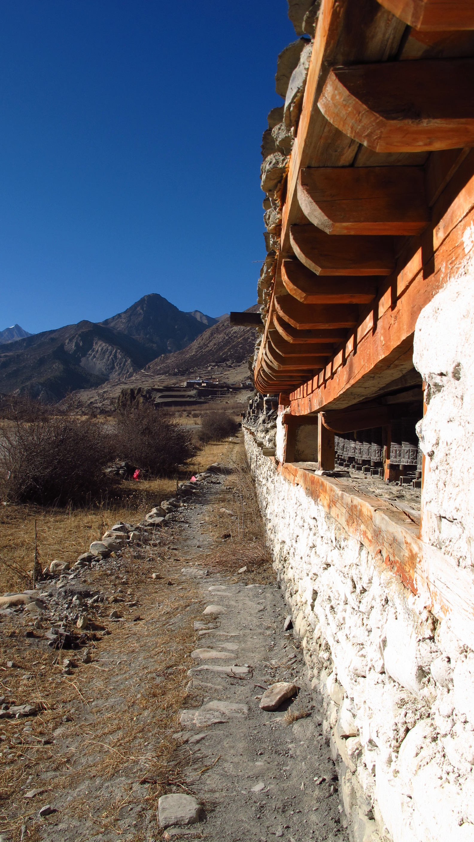
Arriving to Bhulebule at around 5pm ish, I checked into a little lodge and then headed straight to the ‘Tourist Checkpoint’ to get my permits and TIMS cards checked. Following this I ate in a hotel across the river and then went back to the room, hoping to chill out a little after a full day of travelling. Unfortunately the owner of the lodge came and knocked on the door, asking that I come down to eat in the dining room with everyone. I tried to explain that I had already eaten, but this just seemed to make him angry!
This was the first thing that I learnt about the trek: If you stay in a hotel or tea lodge, the idea is that you eat and drink there.
After all the travelling, I got to bed at about 8.30 pm, planning to get up and go off on the first day of the trek at about 7-8 am so that I can be walking in the cooler part of the day!


Day 2: Bulbule – Jagat
Walked: 12.5 miles – risen: 460 metres
Rising bright and early at 6.30 am, I braved the shower only to find that it was in fact cold…it wasn’t ice cold, but the sort of cold shower that at first you don’t seem bothered by, but after a while you are shivering naked under!
Needless to say, I washed the essentials and moved quickly on…
In the Annapurna trekking guide, it suggests how far to go every day and gives you a short explanation of the terrain and sights along the way: Day 1 says that you should be going from Bhulebule to Germu and that it should take you about 6-7 hours to do the 9.6 mile trek.
I managed to plod on for an extra 3.1 miles to the large village of Jagat today, so this takes my total to 12.5 miles…that’s 20 km, so effectively I have trekked a half marathon on ridiculous terrain with a rather large bag…in just under 8 hours.
On the route today I discovered that the guide book and the pull out map that comes with it are not quite in line with each other: each day in the book there is a small map showing the specific section that you need to look at, but this doesn’t look the same as the large pull out map; the paths and roads are sometimes in different places.
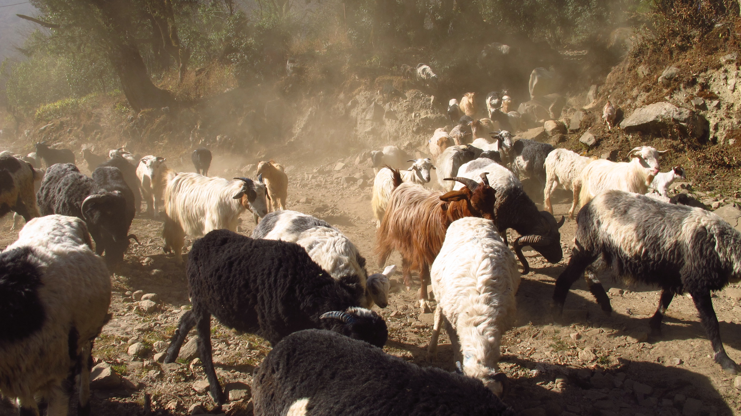
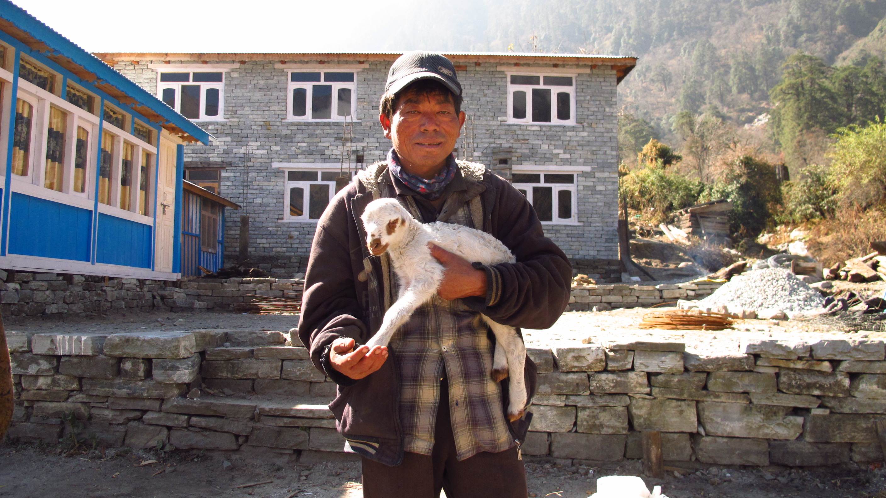
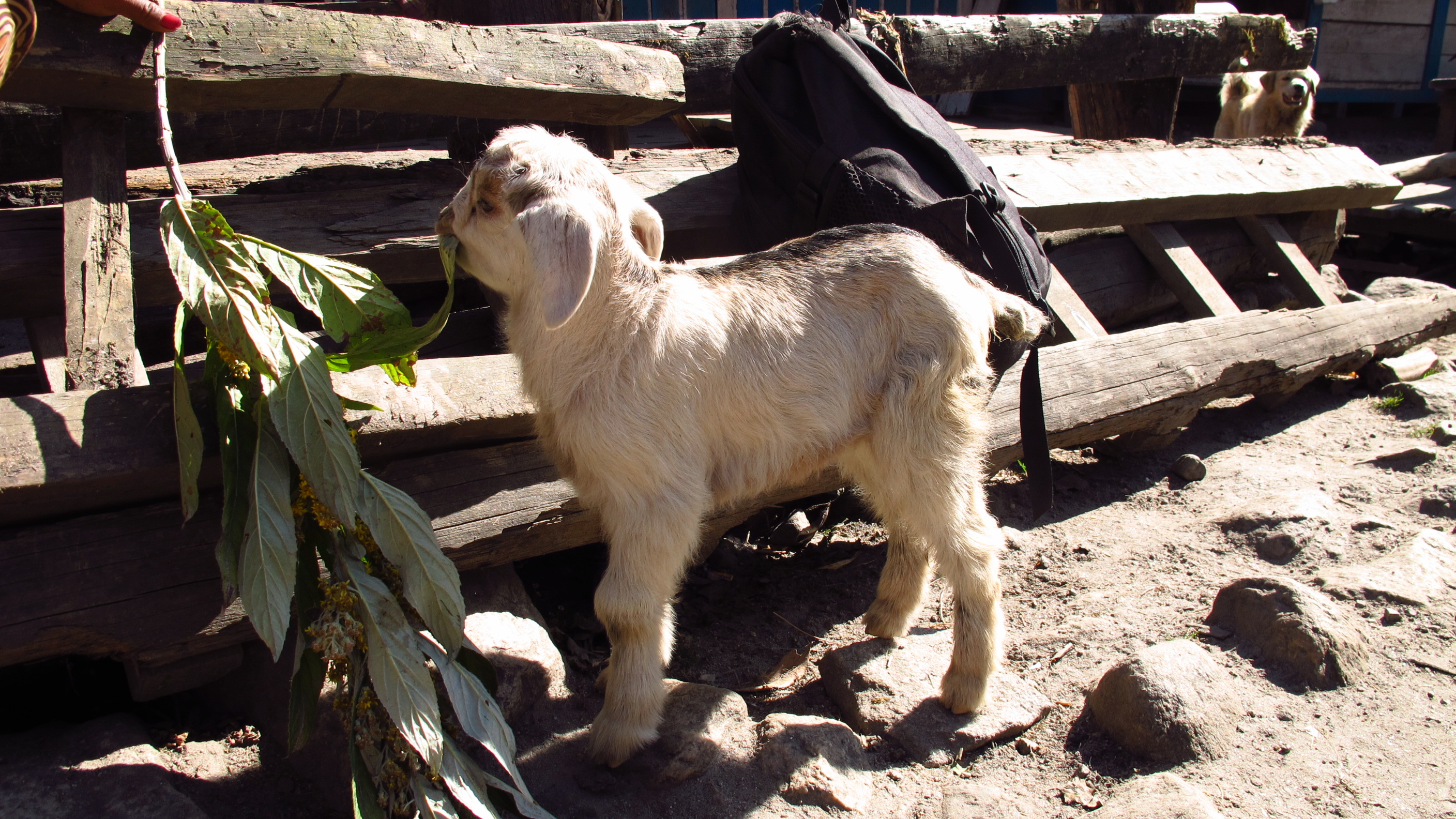
I saw some amazing sights today and at times it was so brilliant that all I could do was take photos! I passed baby goats, saw cows set in a sort of mill trampling hay, I saw a lady carrying a chicken in her arms like a baby…and then off to the next village.
I am very happy with the progress made today; 12.5 miles (20km) is a really good distance for one day…especially for the first day!
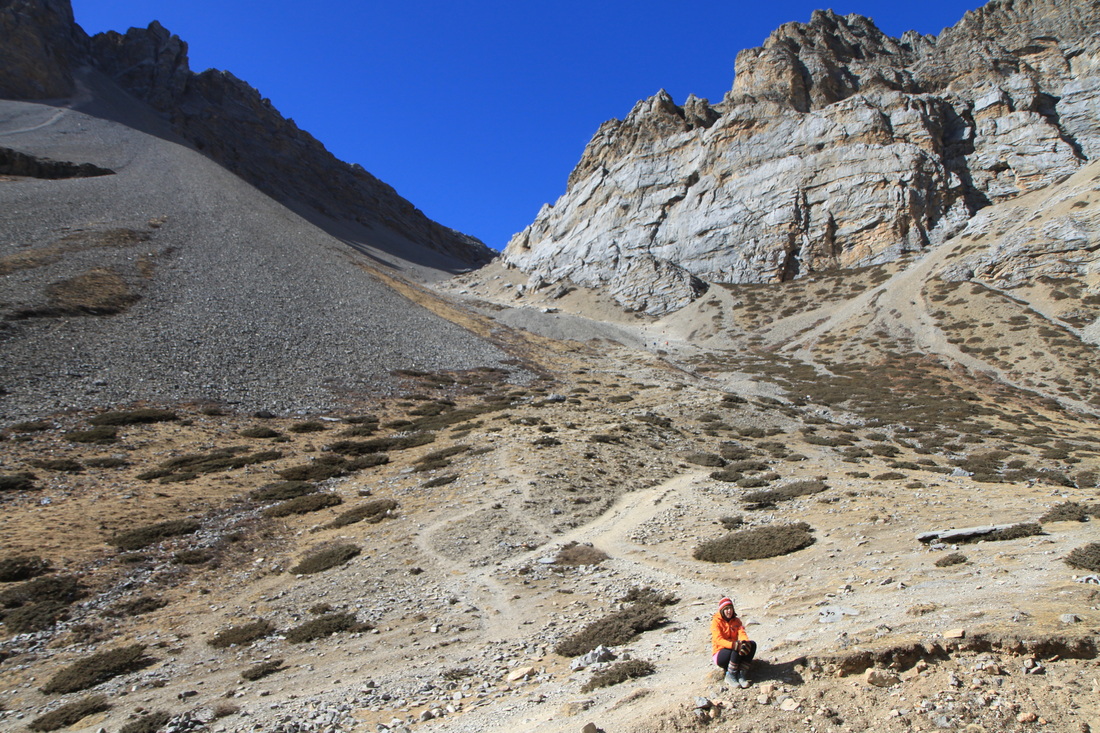
The path up to one of the villages: Bahundanda, was especially steep but when I got to the top there were amazing views over the terraced rice paddies…lovely! It felt worth it at the end of a hard day.
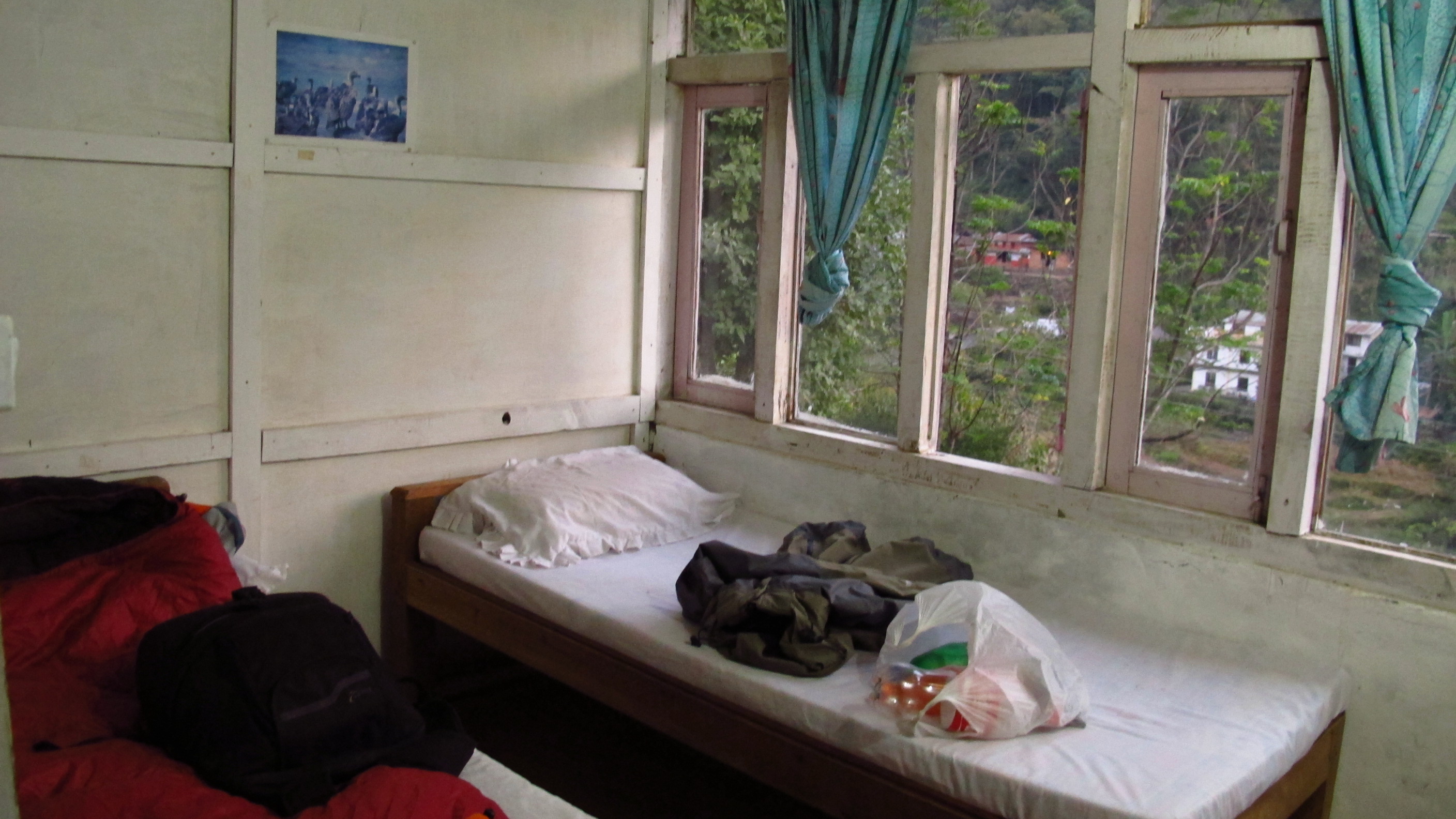
Once I reached Jagat I found a lovely little trekking lodge called ‘Hotel Mountain River View’ with cute rooms overlooking the river that churns away wildly below it. I had a really comfy, hugely padded bed and a hot shower…yay. The shower was a big positive…but sadly a little too hot so it was a bit difficult to actually use…but I’m not complaining!!!


Once I had chilled for a little while, I ventured out to grab some food, pleasantly un-accosted. Strangely enough the lady who seemed to be running the place seemed shocked that I wanted food! It all turned out to be gorgeous food, and the lady bought her little girl in to say hello whilst I was eating. The little girl was adorable, showing off her ‘Namaste’ and bringing in a makeshift drum and demanding that I play it with her!
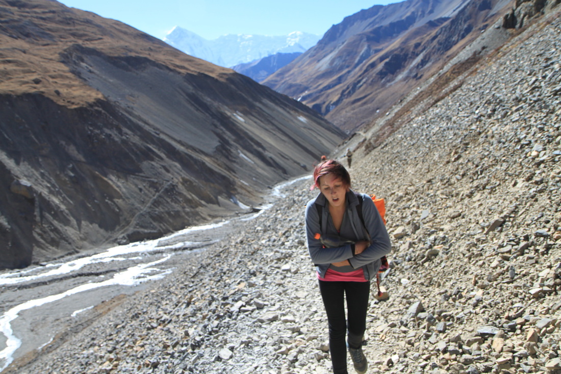
Day 3: Jagat – Dharapani
Walked: 10.9 miles – risen: 610 metres
Today I woke bright and early again at 6.30am and begrudgingly rose to get dressed. After a long breakfast I set off to trek at about 7.50am, aiming to get to Dharapani.
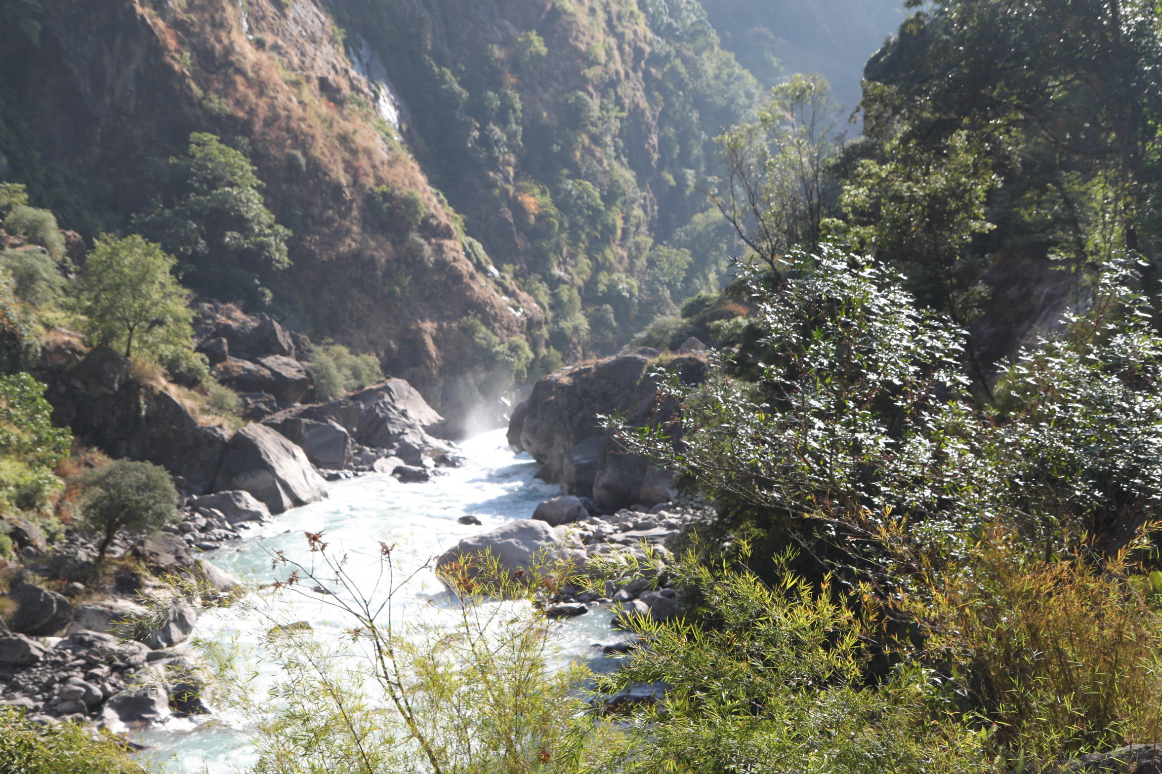
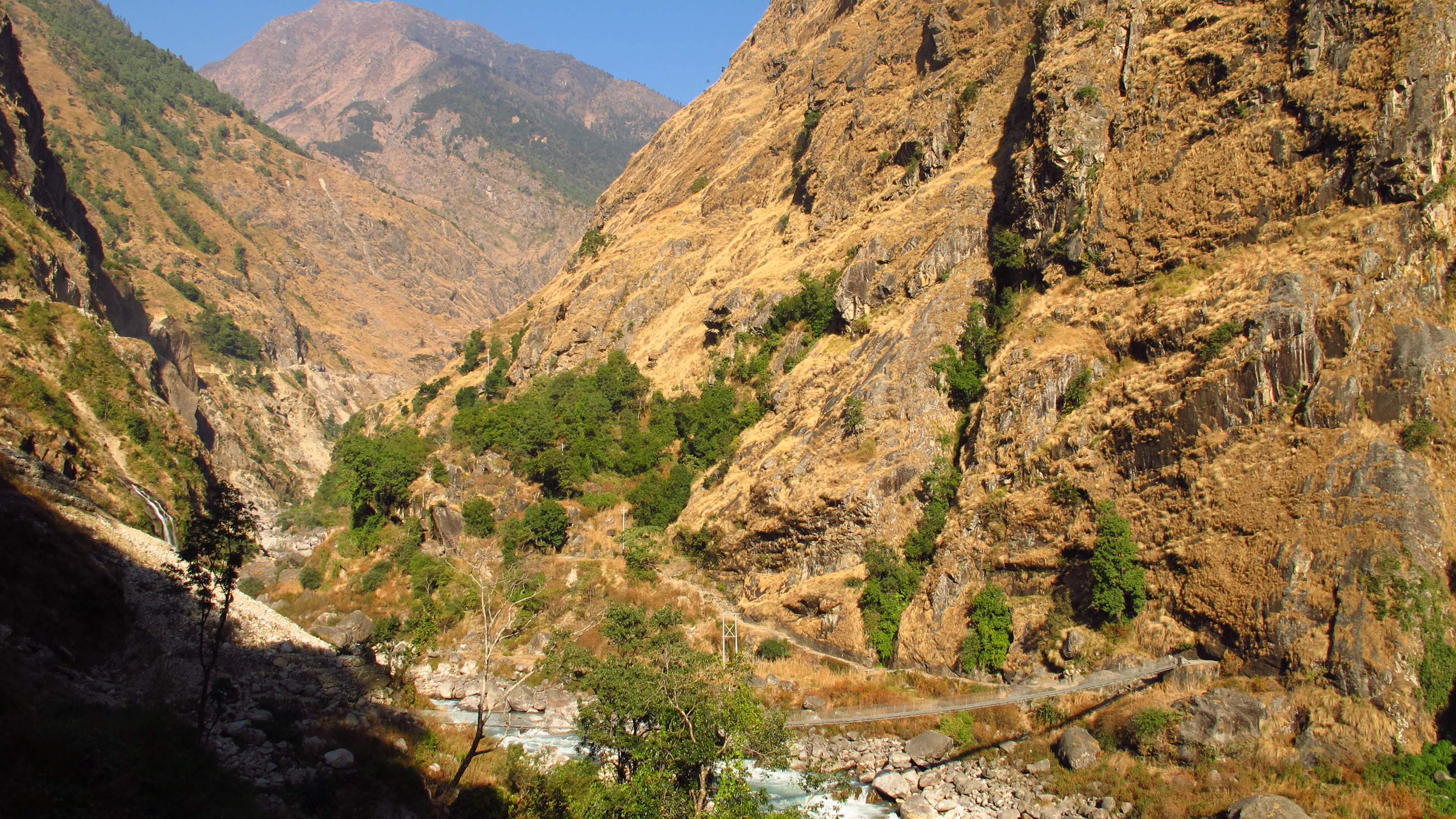
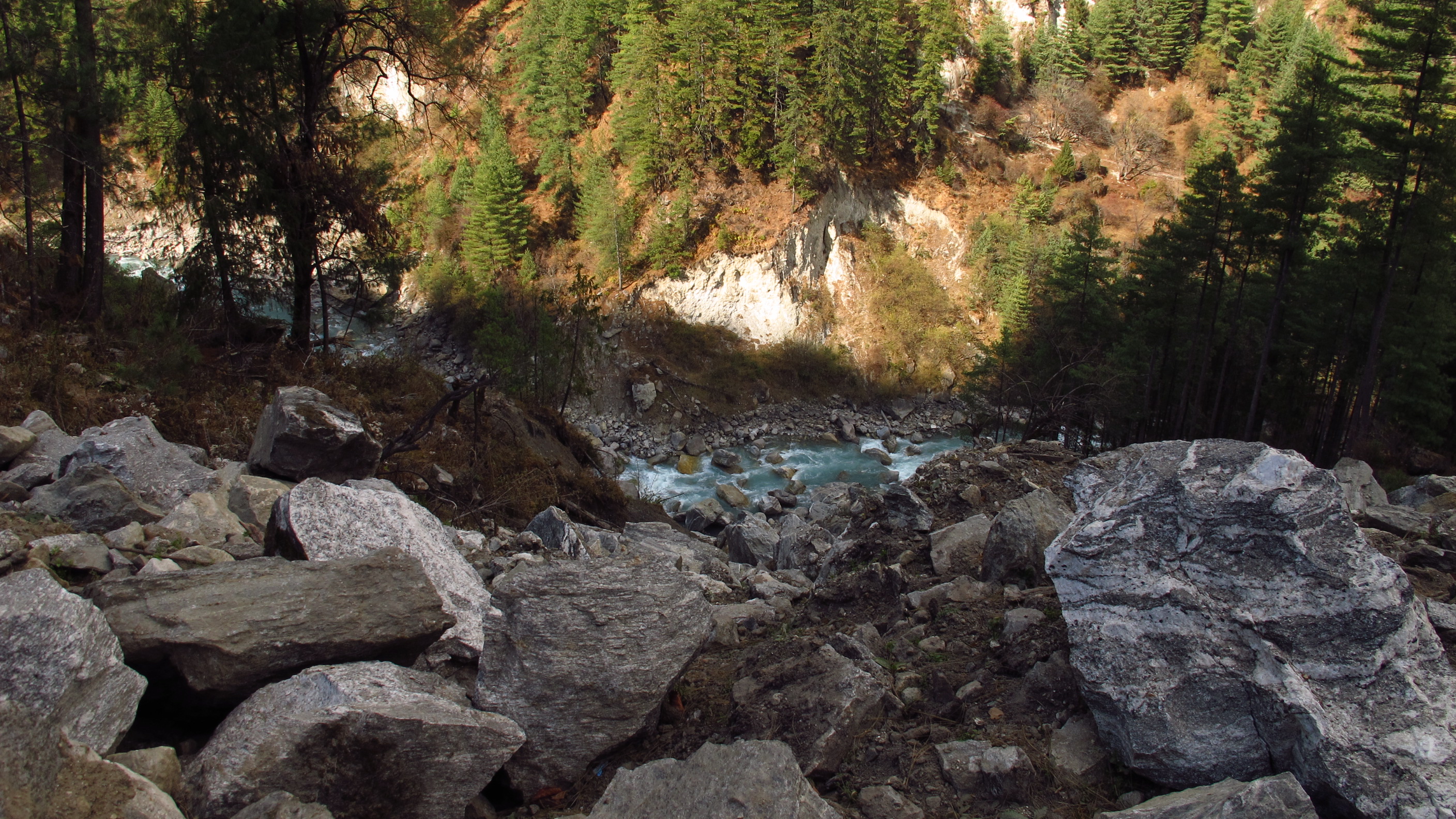
The first stretch from Jagat, through two small villages to Chamje, was pleasant, with a gradual uphill gradient. The second stretch, from Chamje to Tal, was somewhat more of a challenge! At times I was trekking up steps made of rock almost too high for me to get my leg up onto.
Behind me for most of the morning was a large group of older, French trekkers. I kept stopping and they’d catch me up and then I’d move on again, then they’d catch me up again! They looked like the type of people that do these sort of treks often as they all had the expensive gear and some were wearing ‘team’ t-shirts from previous treks! It may have been my imagination but I’m sure that they were looking at me with ‘oh-my-god-you’re-trekking-in-THAT’ sort of looks. I may be carrying a carrier bag, but that doesn’t mean that I’m a bad trekker: all of my plastic came with me and it will all return to the bottom of the mountain with me and disposed of properly. And just because I haven’t spent £5000 on equipment doesn’t mean that I’m not a proper trekker!
Anyways, I digress! Rant over!
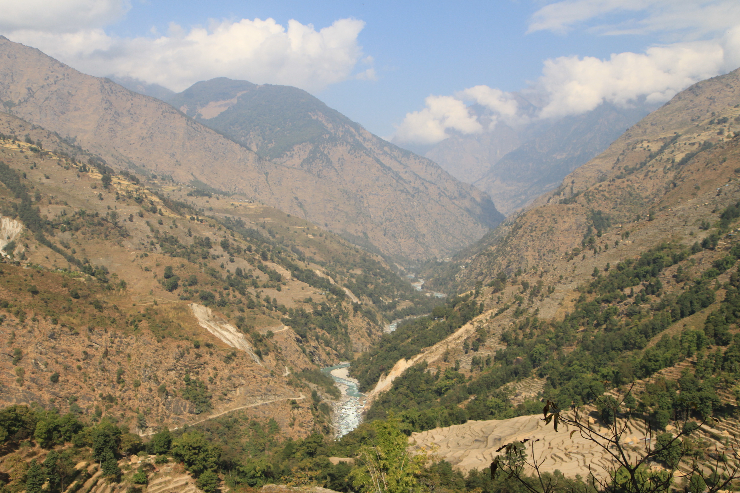
The section up to Tal was blooming hard work…hopefully I will have buns of steel after this! The word ‘Tal’ means lake in Nepali: a few hundred years ago there was a landslide that dammed the huge river: debris and other stuff like silt from the mountain leveled out the lake floor until the lake and huge river disappeared. Now only a river remains and a large open space where a lake used to be…it looks pretty amazing.
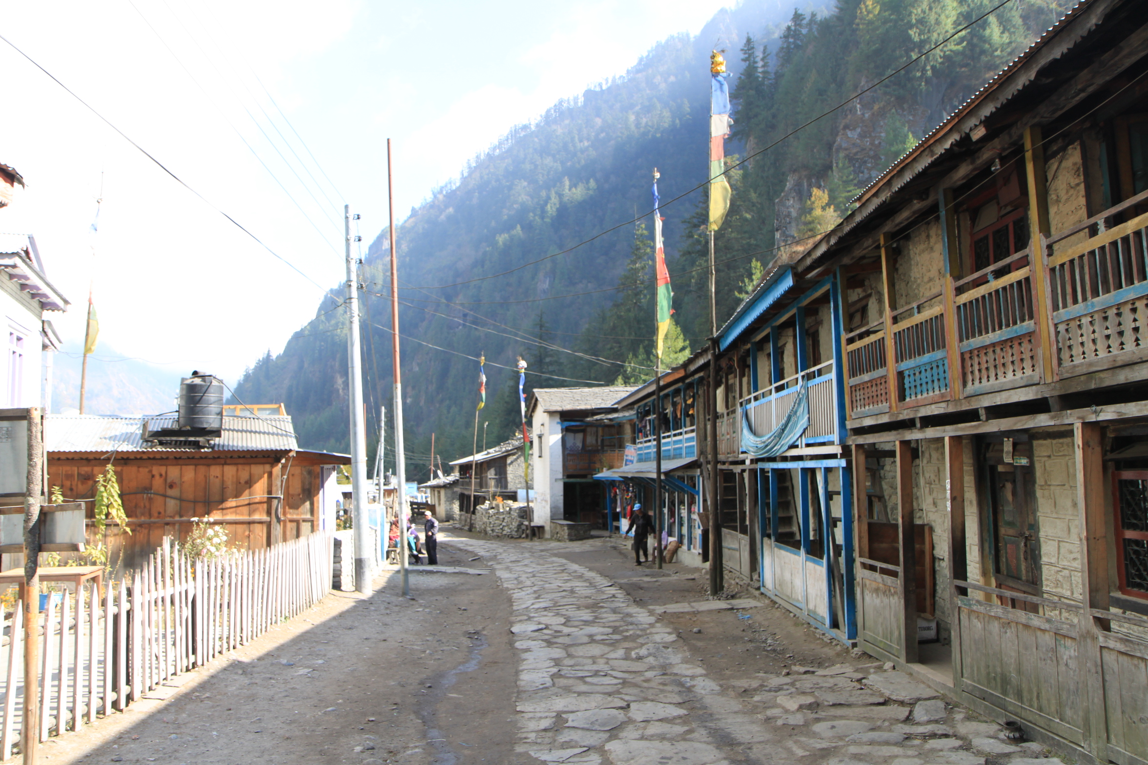
From Tal, whose approach looks like something out of Lord of the Rings, it was mainly easy going through a couple of small villages and up to Dharapani. Dharapani must be the longest Nepali village that we have come to yet! Dharapani means ‘watertap’ in Nepali: in the olden days travelers used to collect water for the journey ahead there…
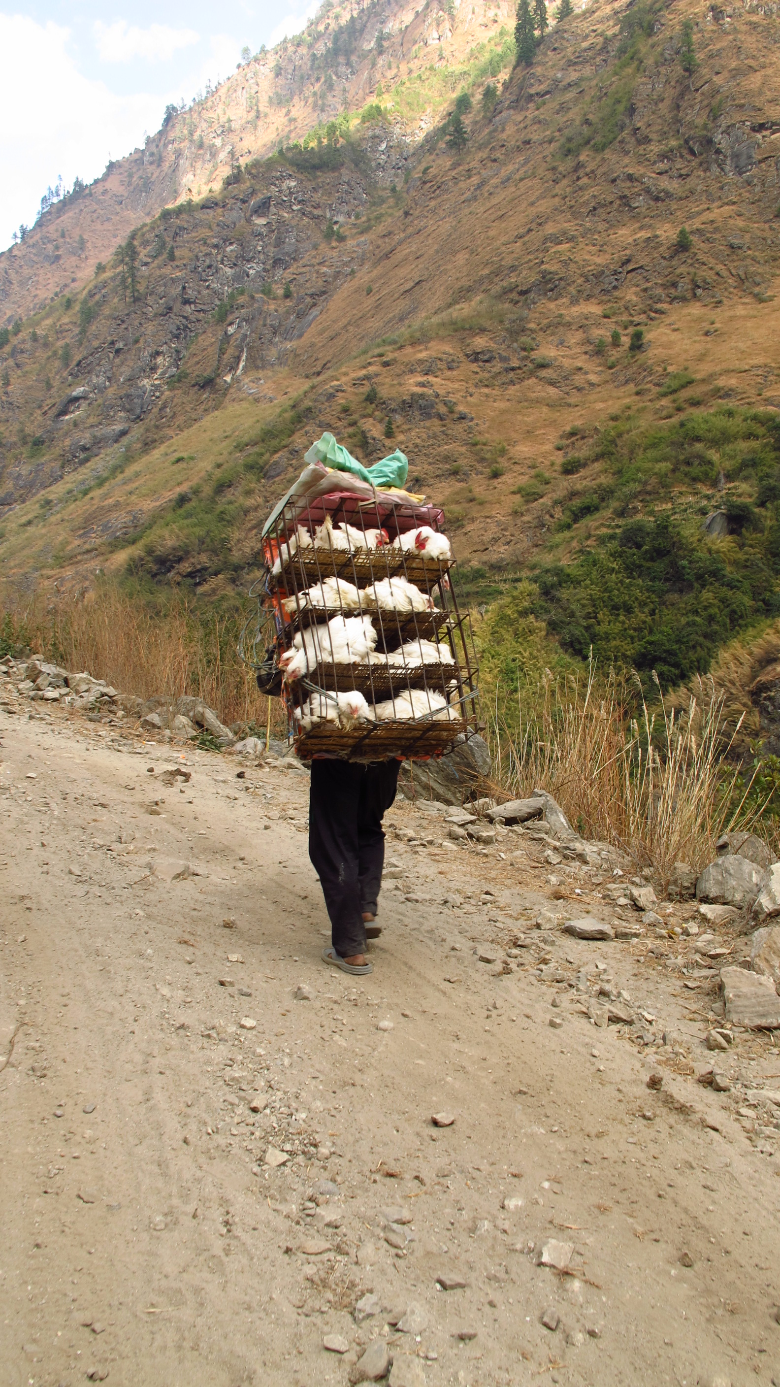
I have seen quite a lot of lovely sights, namely a lady goat herd carrying a puppy around her neck on her pack. I have also seen a man carrying a large amount of chickens in a hutch hanging from his head/neck.
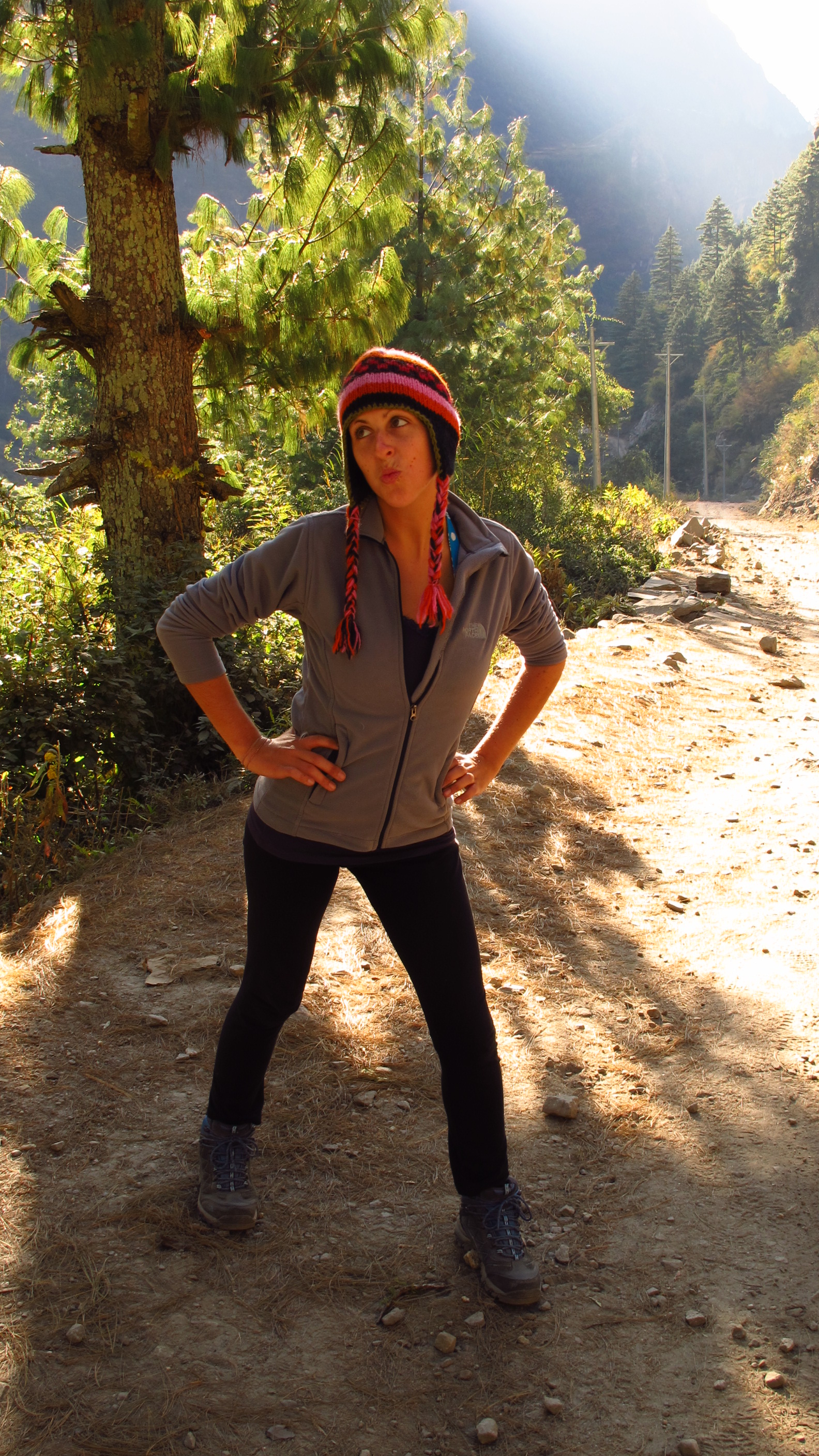
I think I looked pretty funny today too as i had my baggy trousers pinned up on me…I only bought them a few weeks ago and through all of the walking, I’ve lost a lot of weight and they are literally hanging off of me!


When I got to Dharapani I decide to stay at ‘The New Tibet Guest House’. I rested for a little while and then checked out the hot shower: Hot, but in a room that was so very cold that I may as well have been showering naked outside in the freezing cold!
Never mind, I am now clean.
OMG! It’s so cold up here in the mountains! Eating dinner I was wearing all of my clothing, coats and gloves as well.
Day 4: Dharapani – Chame
Walked: 10.2 miles – risen: 760 metres
I began the day with me really not wanting to get out of bed! It was by far the coldest night I’ve had yet. I’ve still got five whole days of going up…well I’ve not yet resorted to wearing all my clothing in bed!
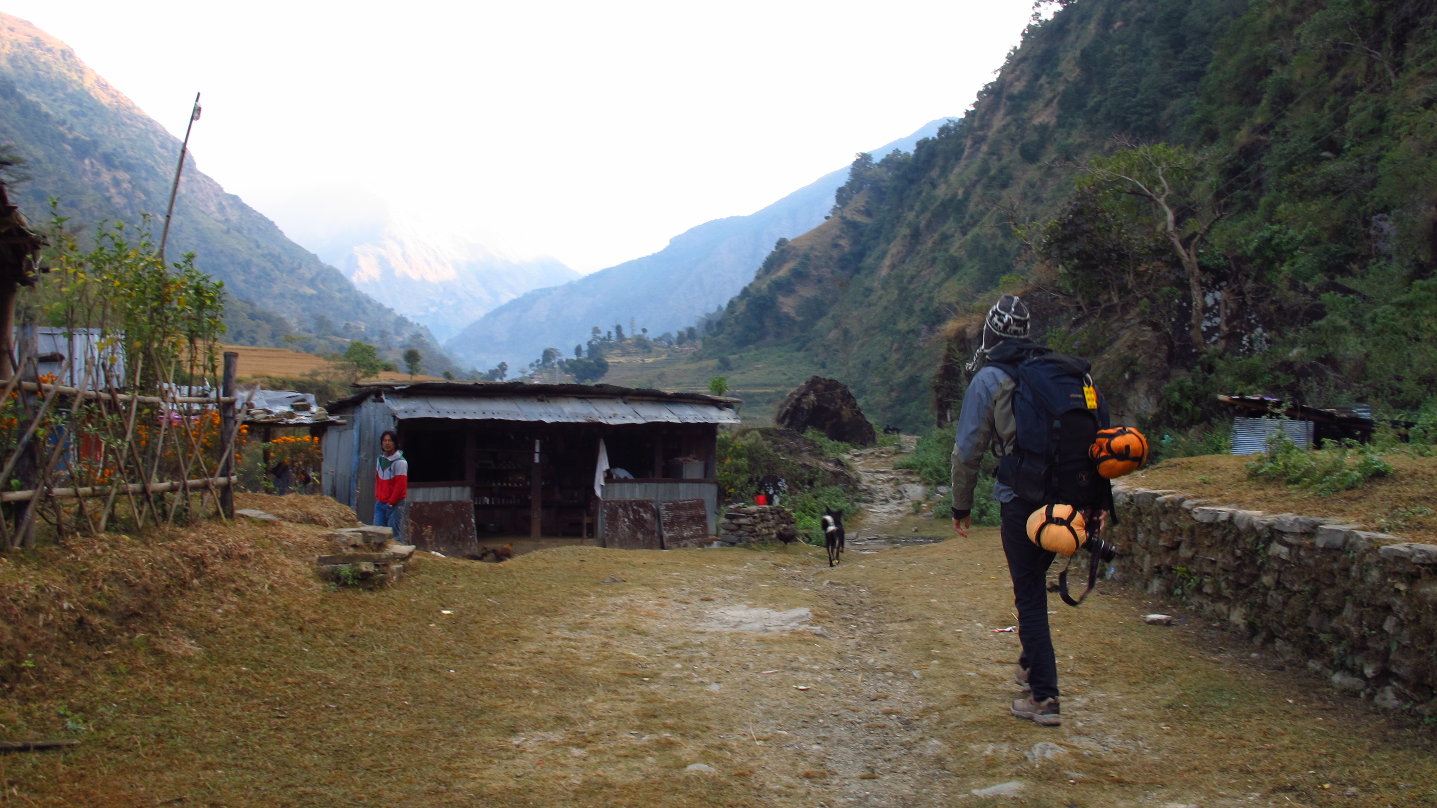
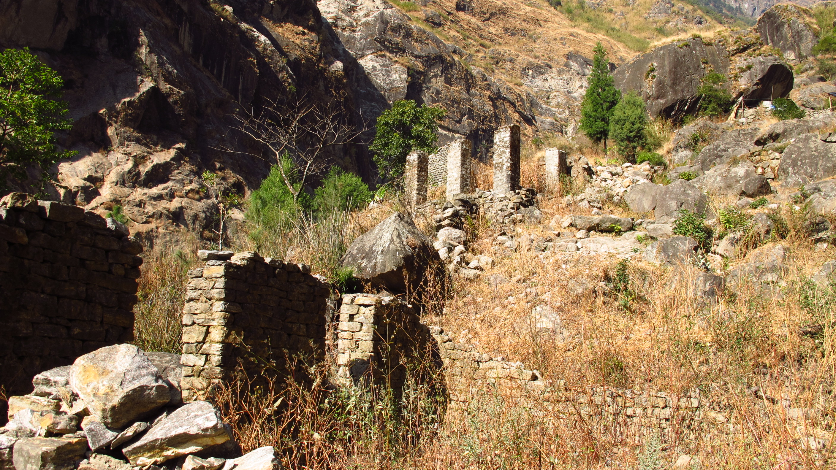
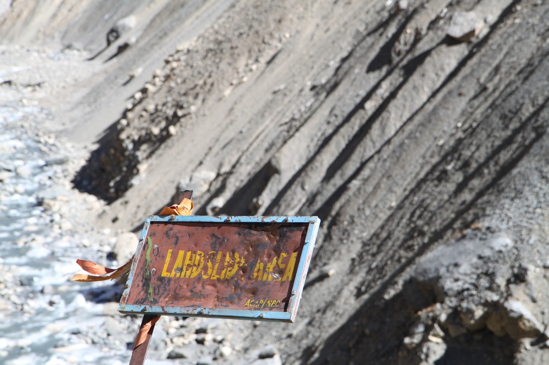
The trek today started with a steady upward climb to Danagyu, through Bagarchap, and then after this it became harder. I was, at some points, scaling a dirt track up the hill! In 1995 a landslide went through Bagarchap and totalled the village. Lots of lodges and homes were destroyed as well as people killed. Now there are a few lodges, but most people relocated to Danagyu.
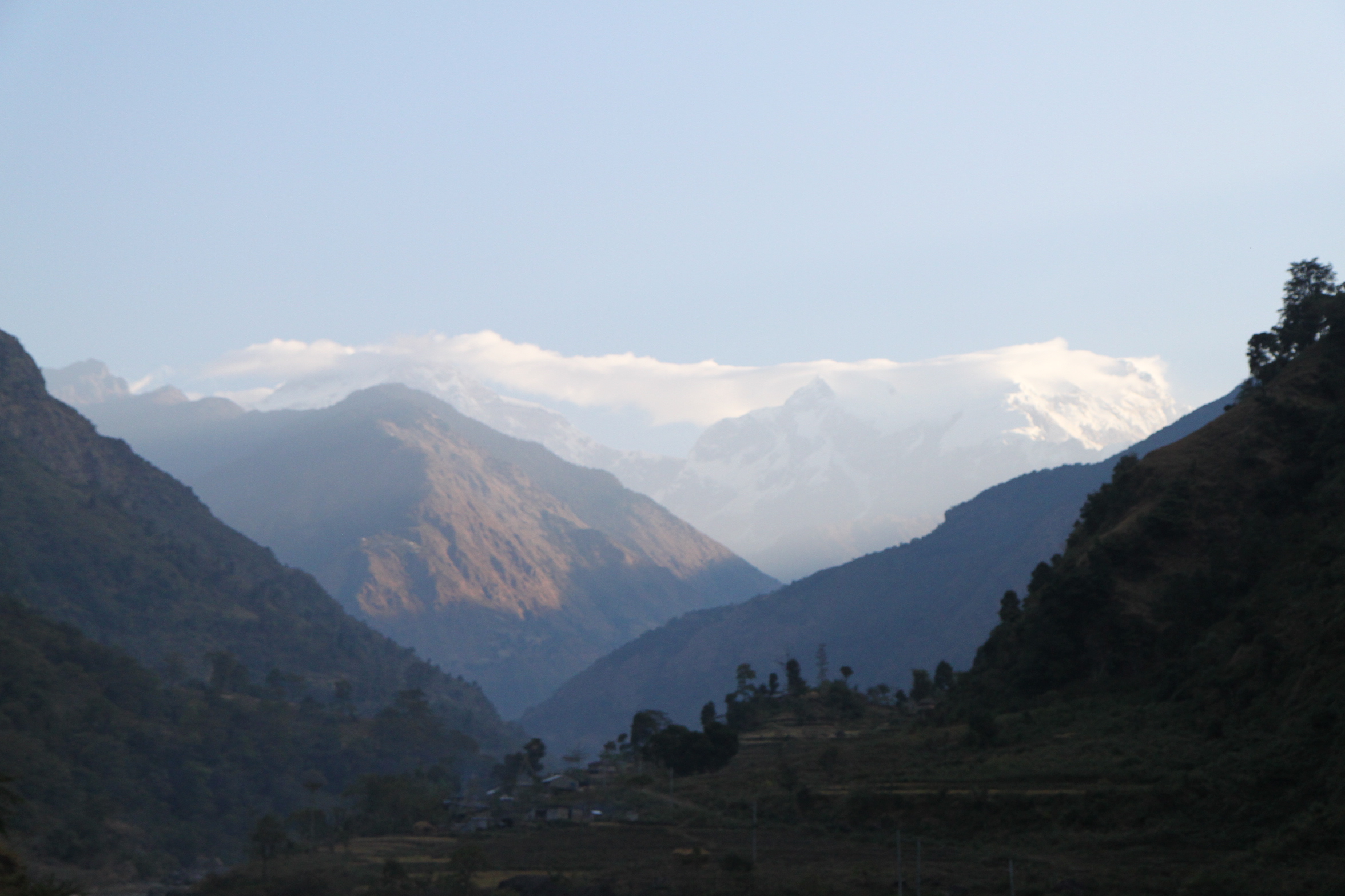
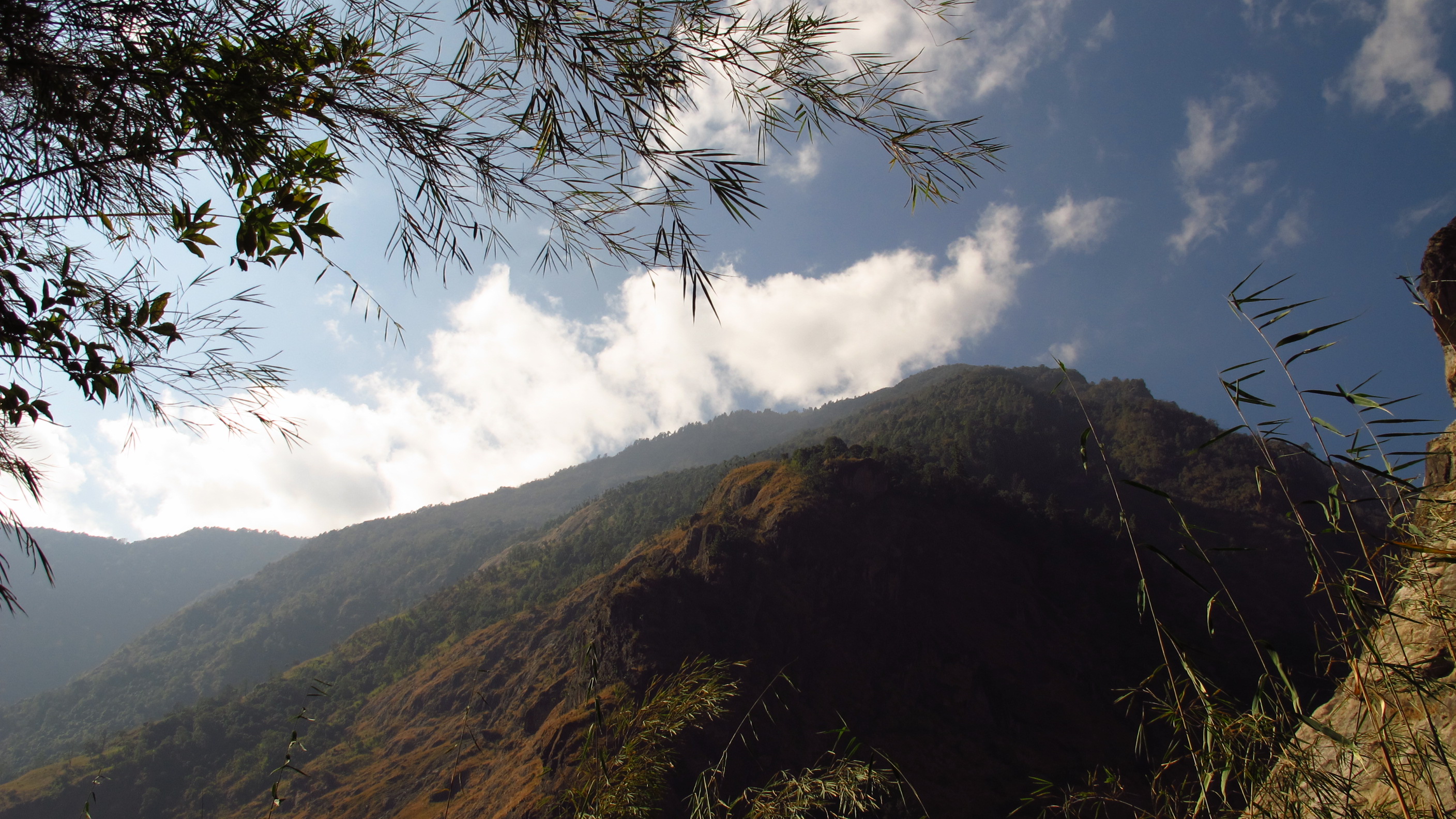
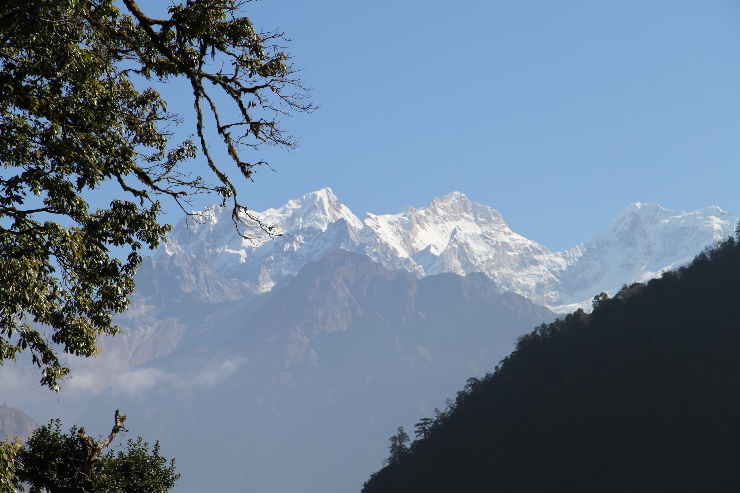
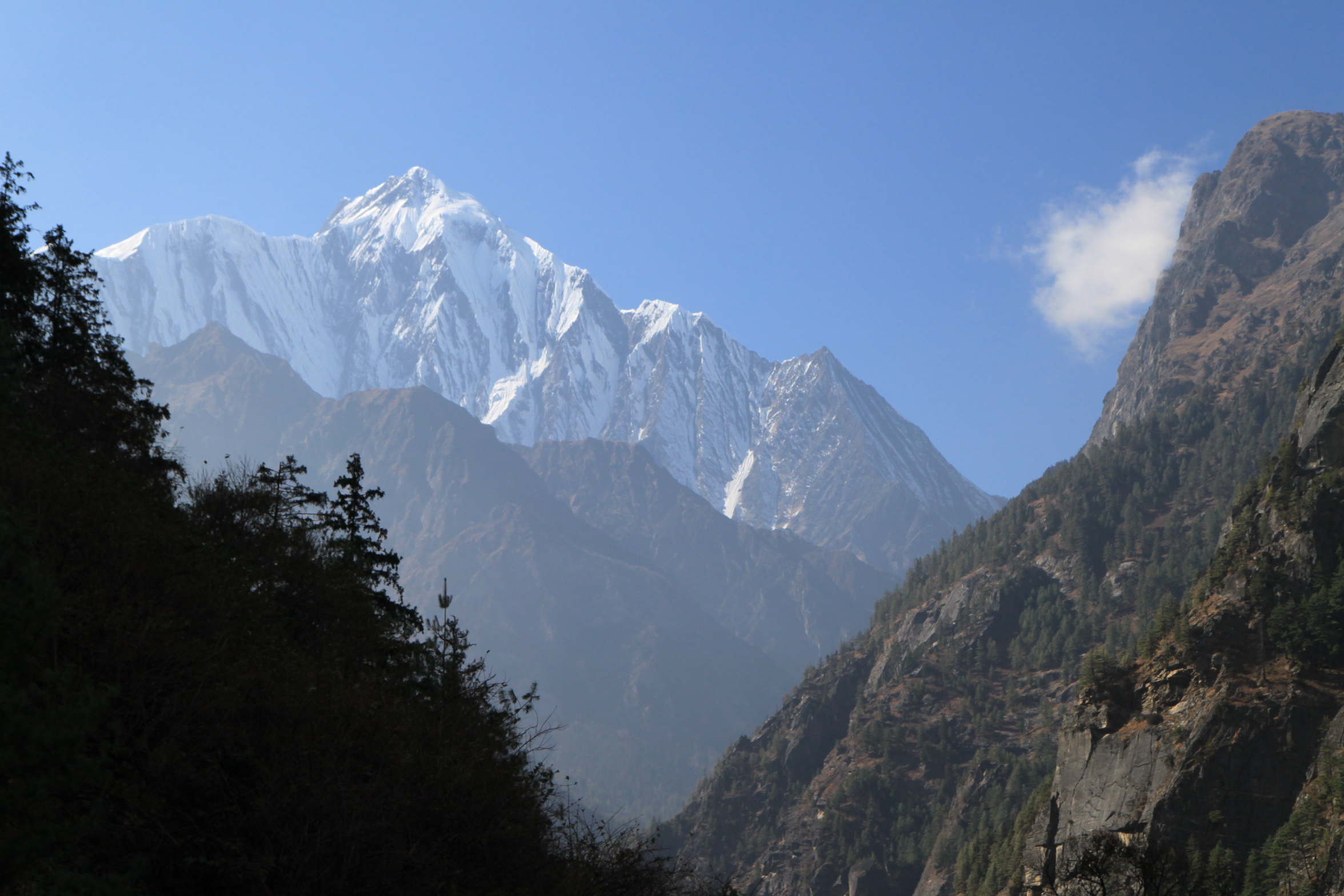
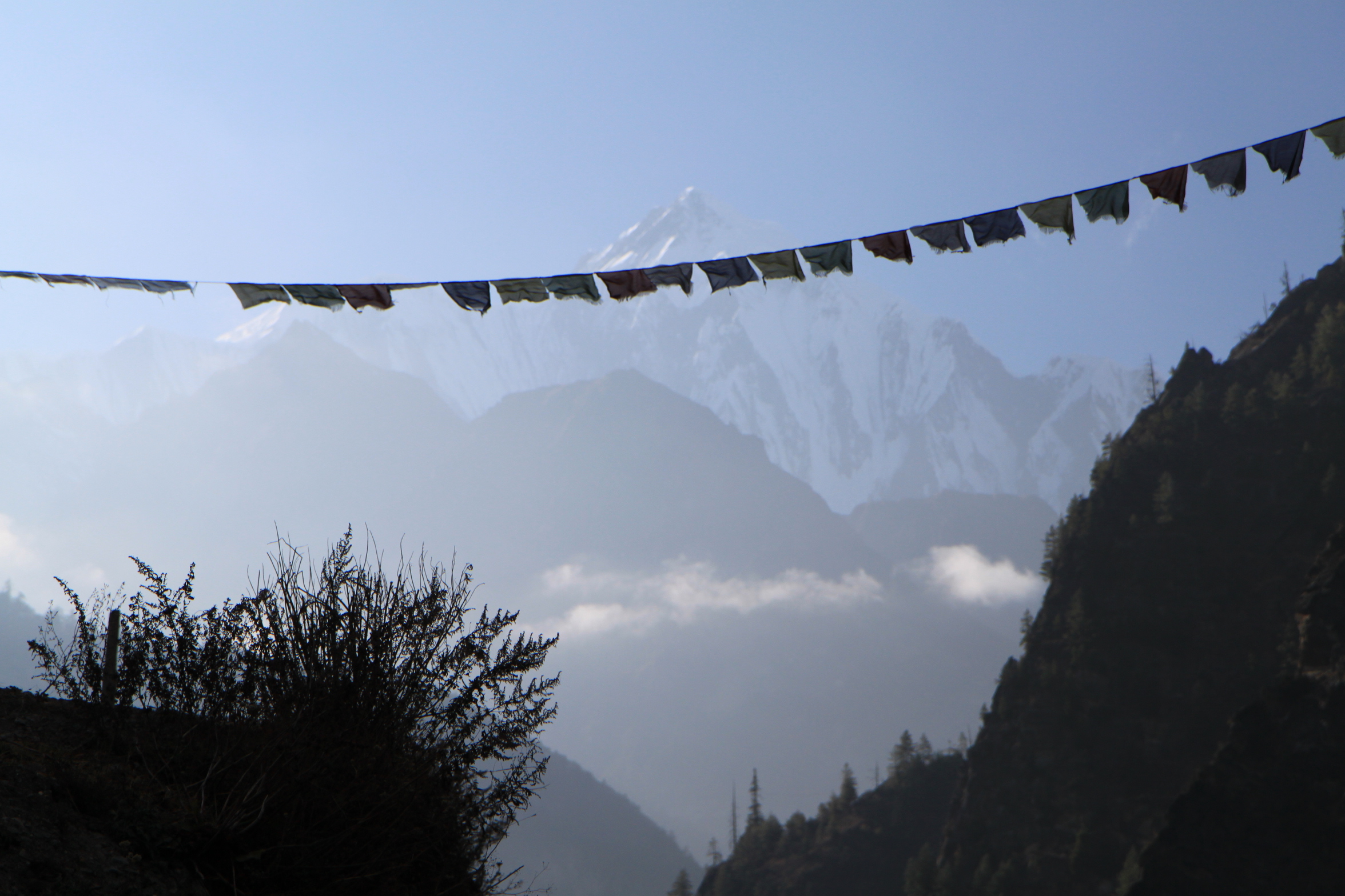
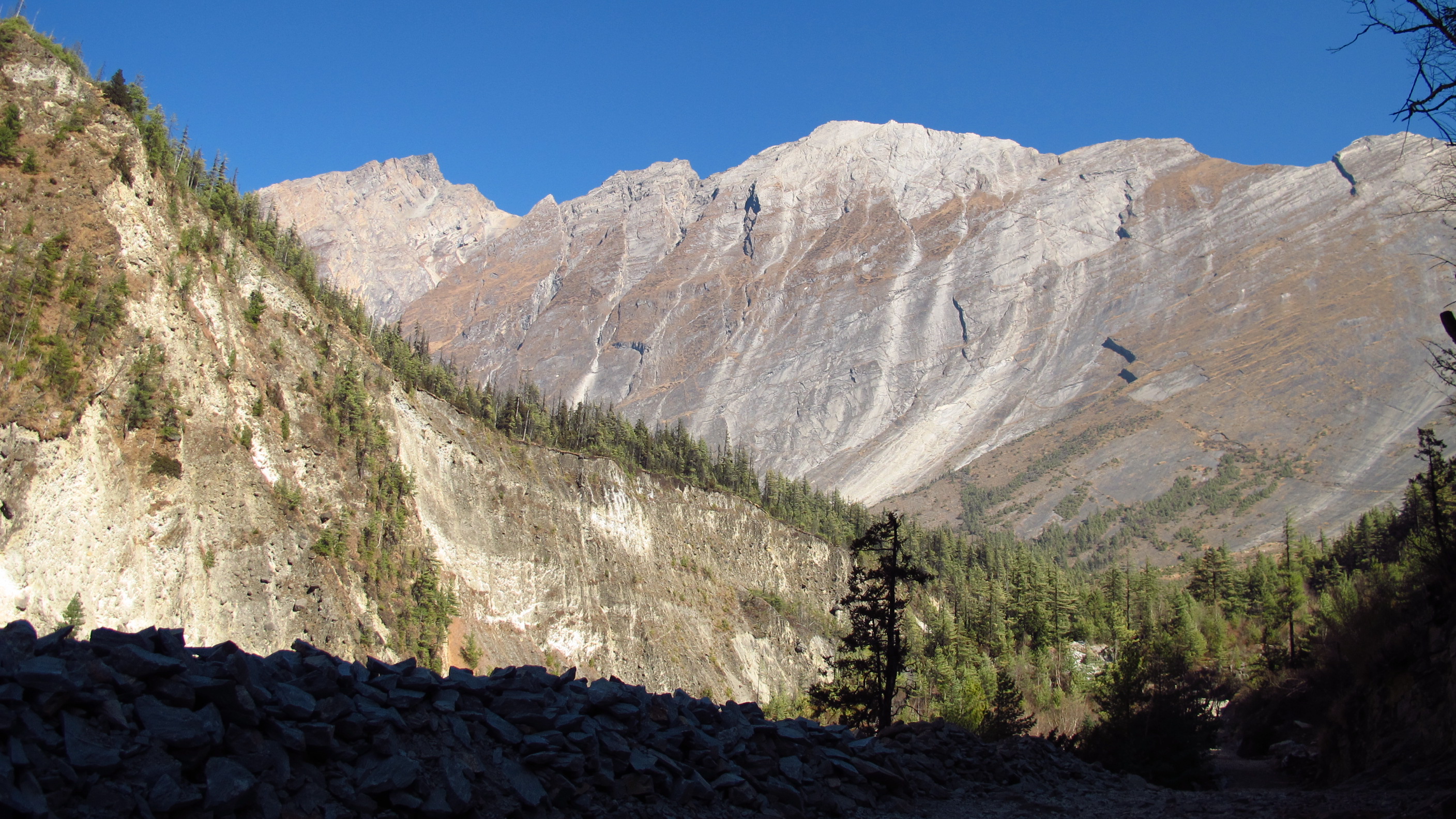
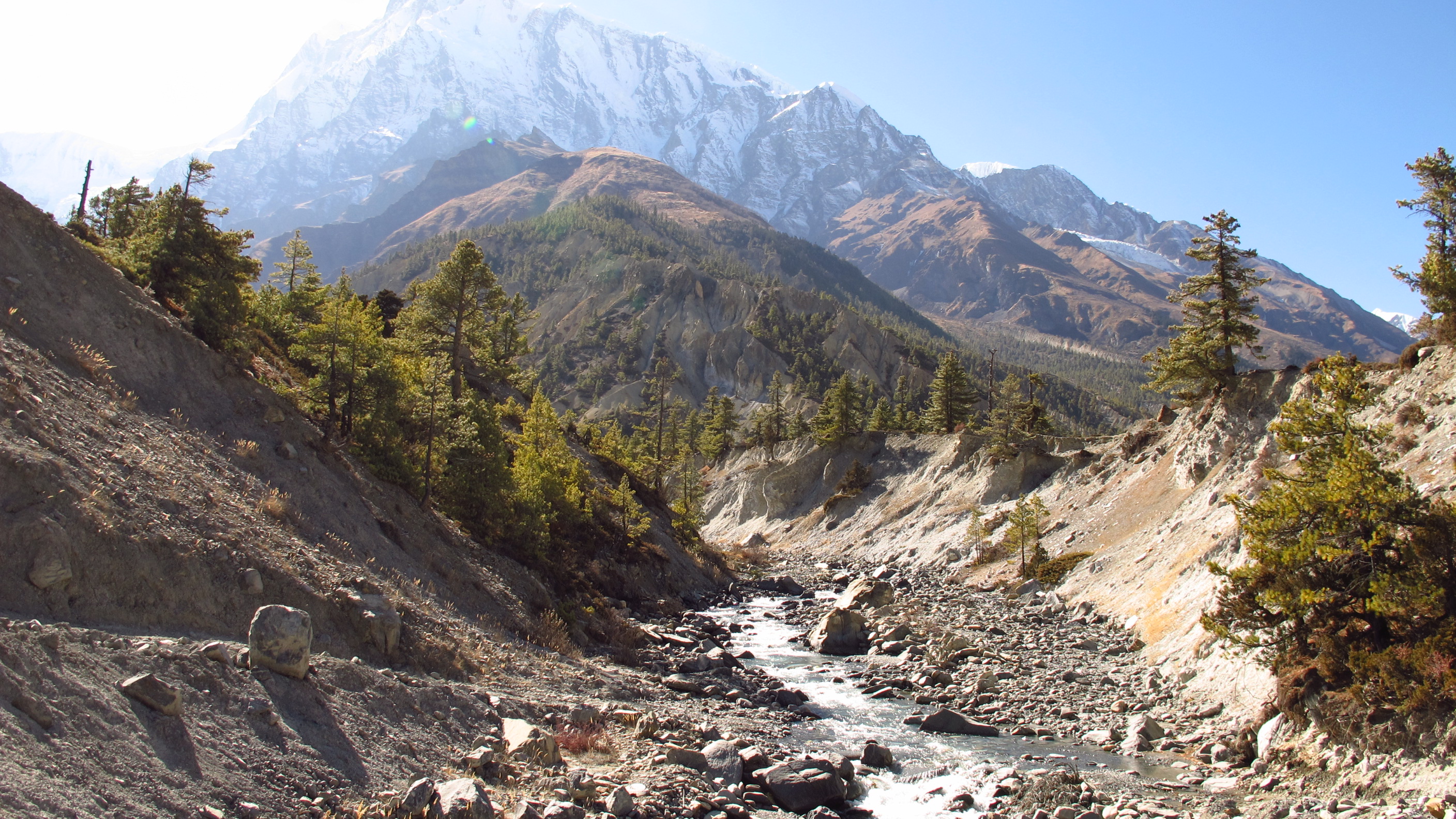
I would say that the views have been the best yet. I saw snow capped mountains and picturesque villages backed by mountains.
I was struggling as I got towards the end of the day! As I walked into a village called Koto Qupar I was flagging and had to stop for food. I chose pasta as it is carb-filled and I was cold and tired! From here on it was an easy walk to the final point for the day: Chame.


As I walked into Chame I was looking out for an ATM or a bank, as I wasn’t sure that the money that I had would last! The bank didn’t have an ATM, but there was a Western Union where I could sort of ‘buy’ money.
Finally I got round to finding a room for the night and taking a shower…it was by no stretch of the imagination hot. I’d say lukewarm, but needs must.
Day 5: Chame – Pisang
Walked: 10 miles – risen: 530 metres
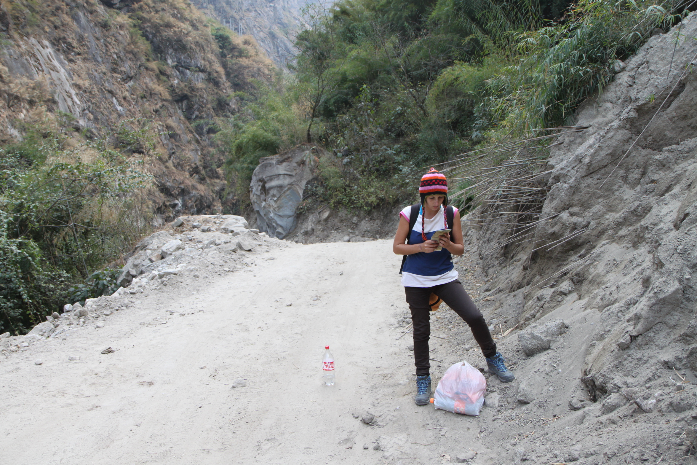
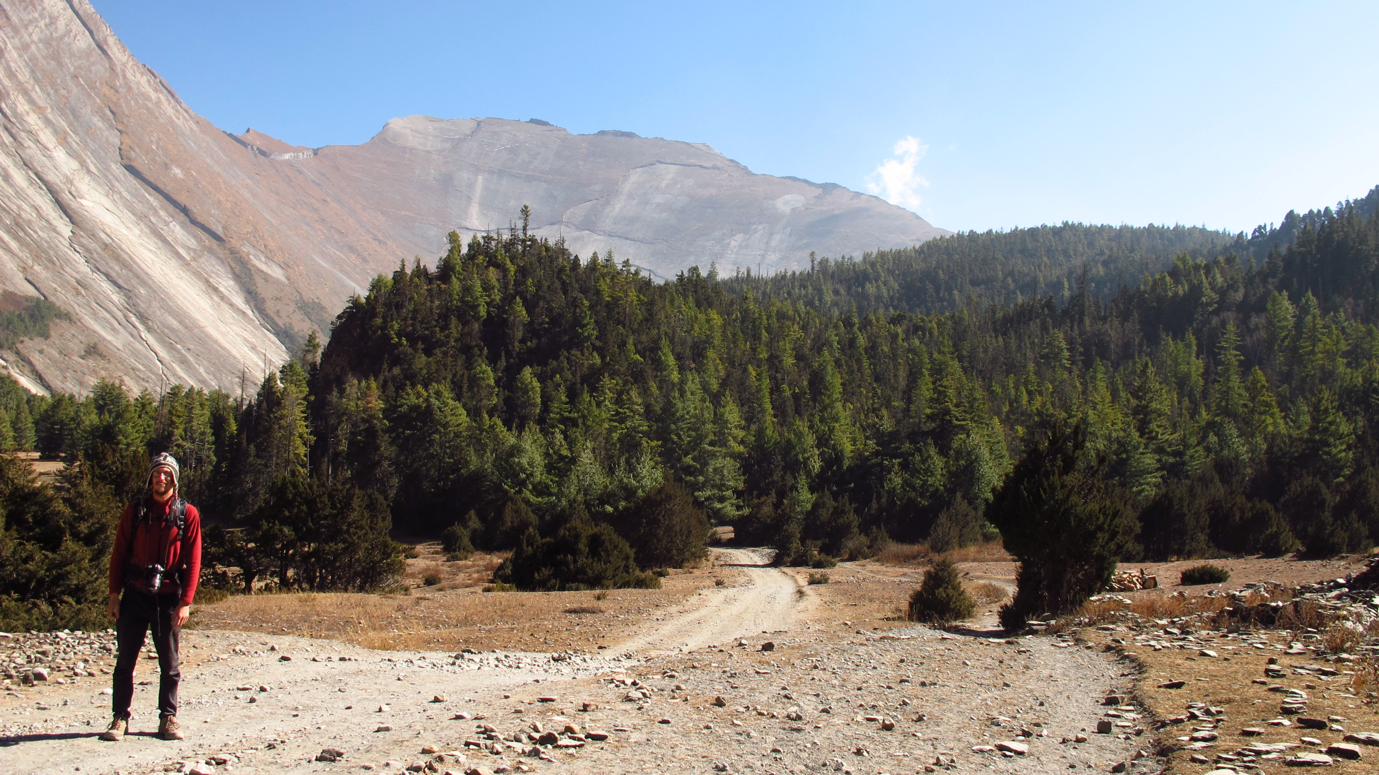
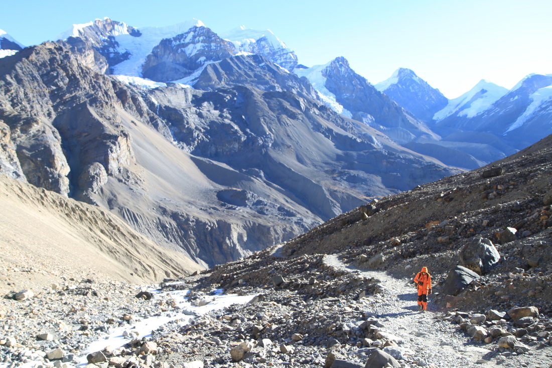
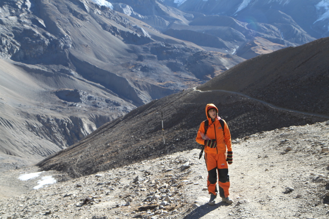
I was up and out by 7.30am today and quickly walking up the hills to Bhratang and beyond towards Dukhure Pokhari. Part of the walk today had me walking along a ridge above a near vertical slope that drops sheer to the river. This is, at the moment, only a trekking trail but they are widening it so that it will become a jeep trail. I think that this is good, as so far people can only walk to the nearest hospital or to the next village for supplies etc…
As I walked along it I saw a group of four men working on the rocks, using a sort of water pressure machine to cut out chunks of the rock. When I got nearer to the group one of them fell to the floor and began to roll around. At first I thought that he was just messing around, and so did his friends, but it soon became evident that he was hurt…as he took his hand away from his face it was covered, dripping even, in blood. I quickly dropped my bag and grabbed for my first aid kit in an attempt to try and help, but it was very obvious that none of them had a clue what to do and they took a bandage and dabbed his head with it before picking him up by the legs and arms and running off down the hill with him! I turned and ran to try and see if there were any porters or guides that might be able to help, but I think I just ended up looking and sounding like a complete loony! Eventually I found a porter and he calmed me down and gave me a big hug! I was pretty much in shock a little for the rest of the day…
I don’t think that there was much else that I could have done, but it made me feel a little useless!
If he had thrown himself onto the floor with much more effort he would have rolled off of the mountain…or if he had been up one of the ladders that were strategically placed along the path he would have been flung from the mountain…it doesn’t bare thinking about!
It really does show why PPE (Personal Protective Equipment) is so very important…it’s something that I really emphasize to my students every single lesson! Oh well, I shan’t dwell on it.
I did spend the rest of the hike for today in a sort of zombie-shock-stupor, having to stop often. I really wish that there was some way of knowing if he is okay?!
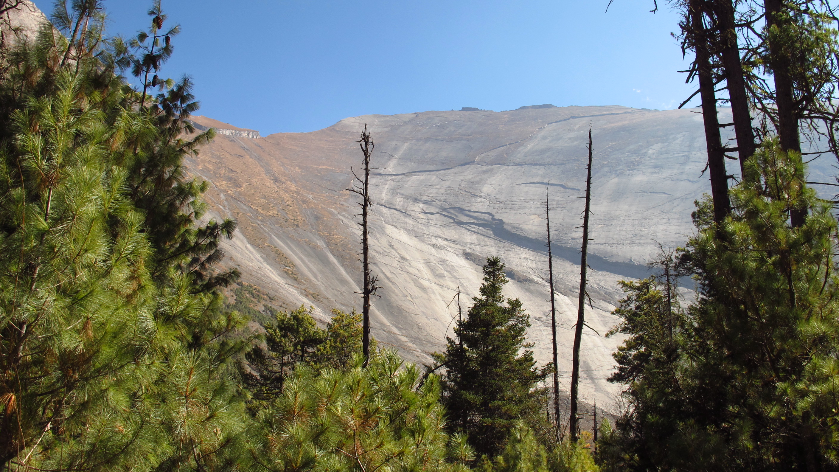
The views over the Paungi Danda slope (a massive rock that I passed) make it seem almost never ending. Nepali people believe that the souls of the dead rise up from this slope and enter heaven. Sometimes the people left behind light candles at the bottom of the slope and shout out the names of those lost in remembrance.


Apart from the horrible event, the walk went by really quickly and I was soon in the next village: Dukhure Pokhari. I stopped shortly after this for a biscuit break and then carried on towards Pisang: my rest place for the evening.
In Pisang I found a lovely lodge with a heater in the dining area and duvets on the bed! I went in search of food and found a lovely place to have lunch, it sat right in the sunshine so I was roasty warm. The lady inexplicably bought in her baby and laid it next to me and then walked off back into the kitchen…er…I was wondering what to do with it when she literally ran off and down the street…I think she put it there so that it wasn’t laying all alone in another room. It was quite funny because it looked so tiny, like it wasn’t very old.
When I asked her she told me that it was only a month old!!!
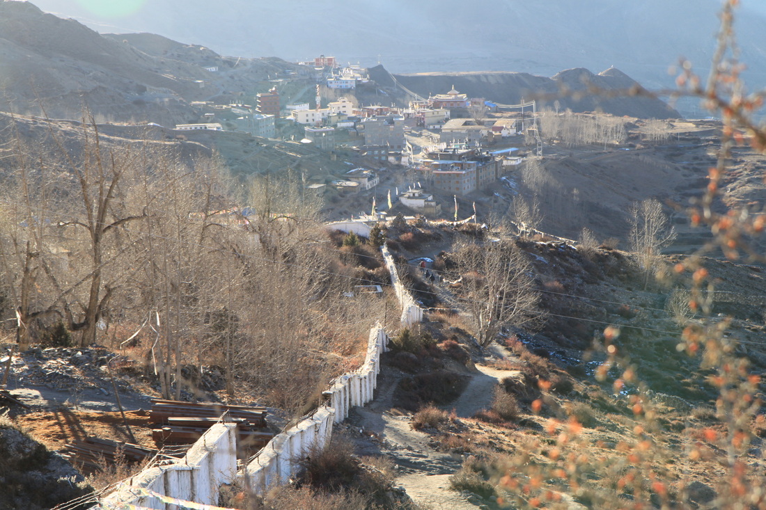
Day 6: Pisang – Manang
Walked: 9.4 miles – risen: 340 metres
This morning was my ‘Low Point’. After a lovely roasty night with two duvets (yes two duvets cool) I awoke with a MAJOR headache, not wanting to get out of bed! I didn’t get up until about 8.30am…an hour after I set off yesterday. I think that my head is now feeling the altitude but hopefully this will be THE low point and not just A low point of many!
I managed to get to the village of Humde, a sort of halfway point, and have a lunch of veg fried noodles. I decided to read the section on ‘AMS’ (Acute Mountain Sickness) in the Lonely Planet as I was still feeling rubbish…bad move! I then worried myself into a bit of a panic…and then worried myself out of it again…It says to worry if ‘…you wake up with a splitting headache, nausea, vomiting and a bad, dry cough, if you feel breathless on exertion and very tired…’ I merely woke up with a bit of a headache…I think maybe that I had a headache due to the cold weather and me getting a cold as opposed to me actually getting AMS!
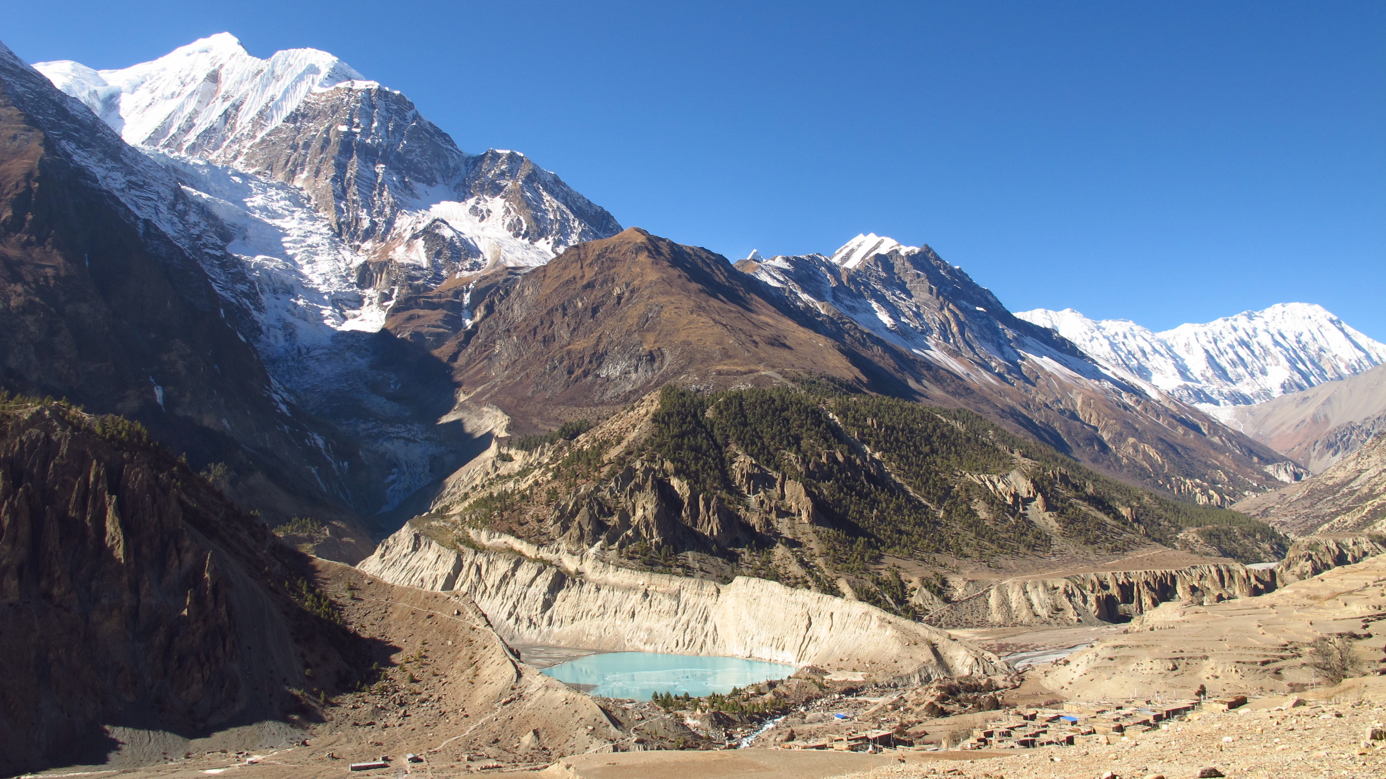
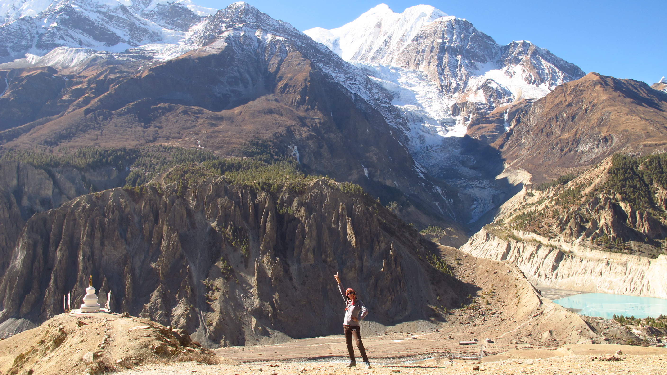
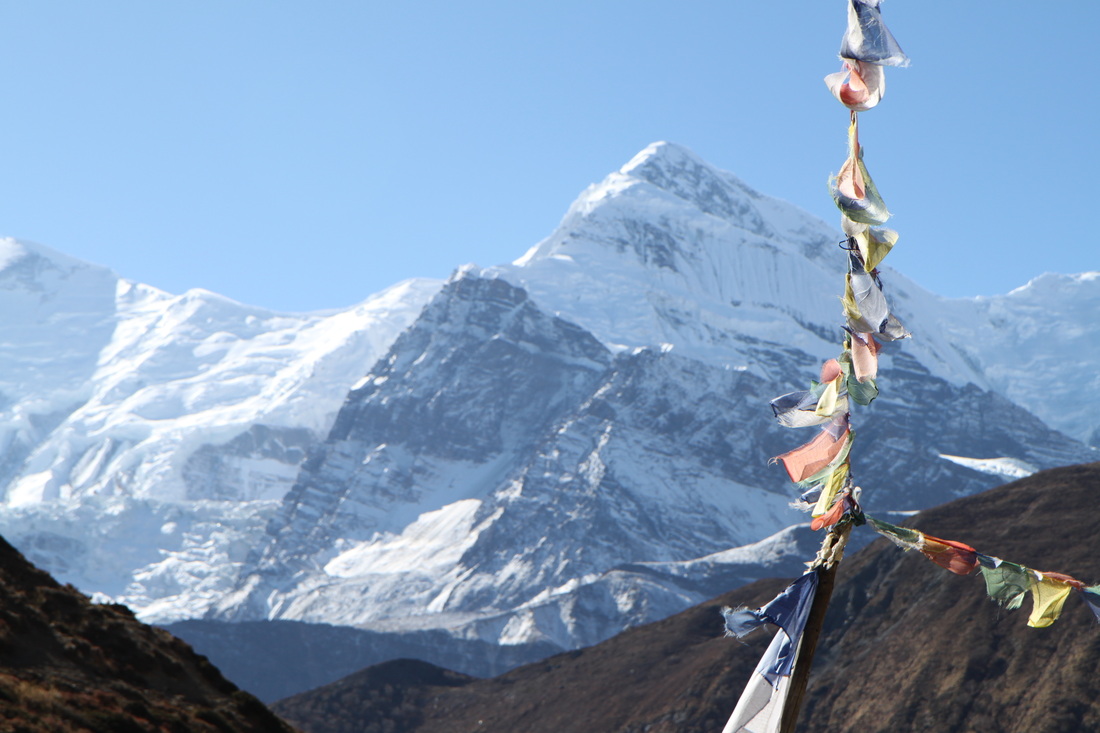
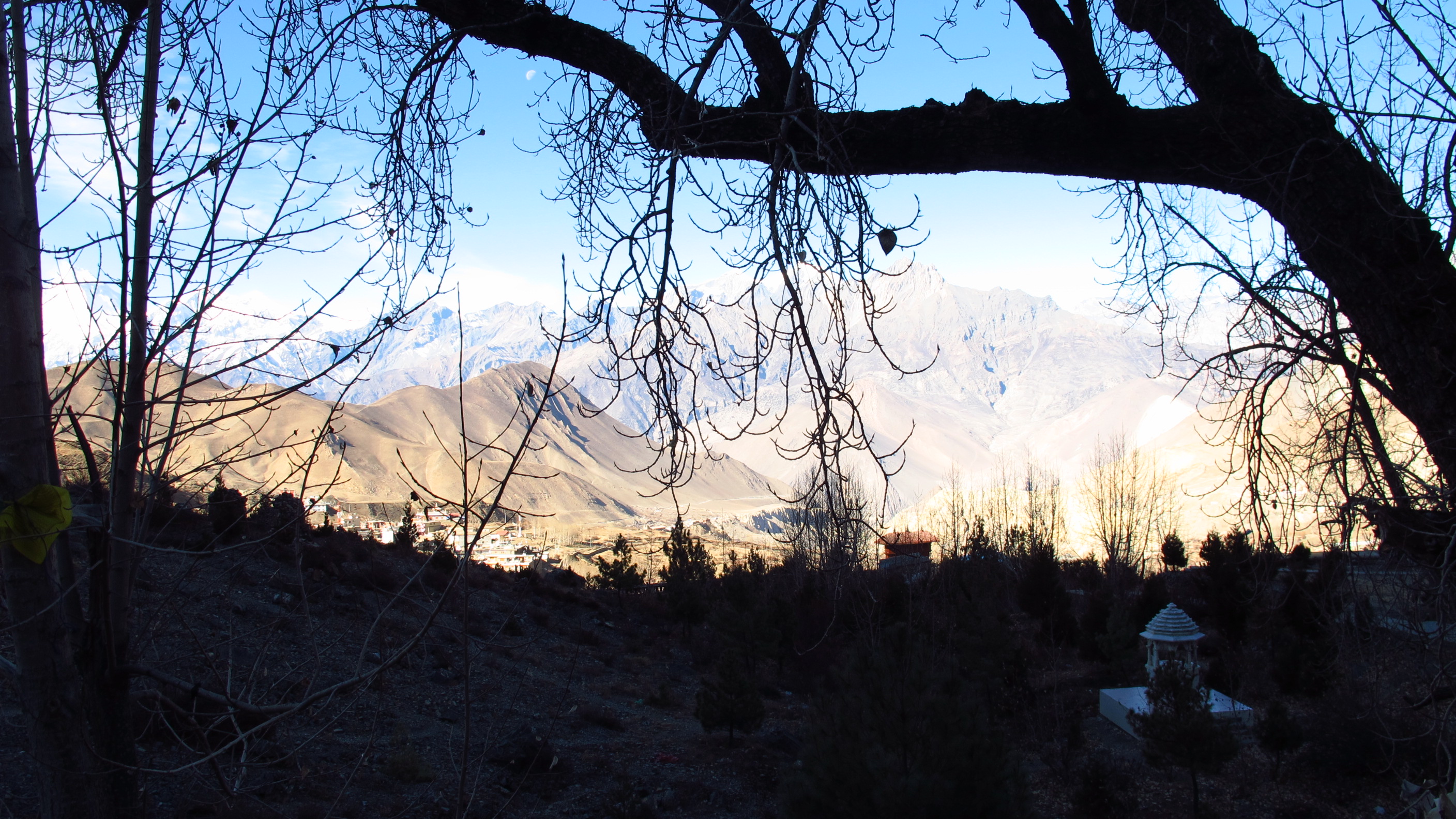
I decided to move on and try to get to Manang and let myself acclimatize there…from Humde it was all okay as it’s only a gradual ascent and fairly straight forward. I got some epic views of the Annapurna’s and of the hillside villages above us on the opposite bank of the river. It baffles me how people actually chose to live in a place like this! It’s high, cut off and the temperature is rubbish…but they do have great views!
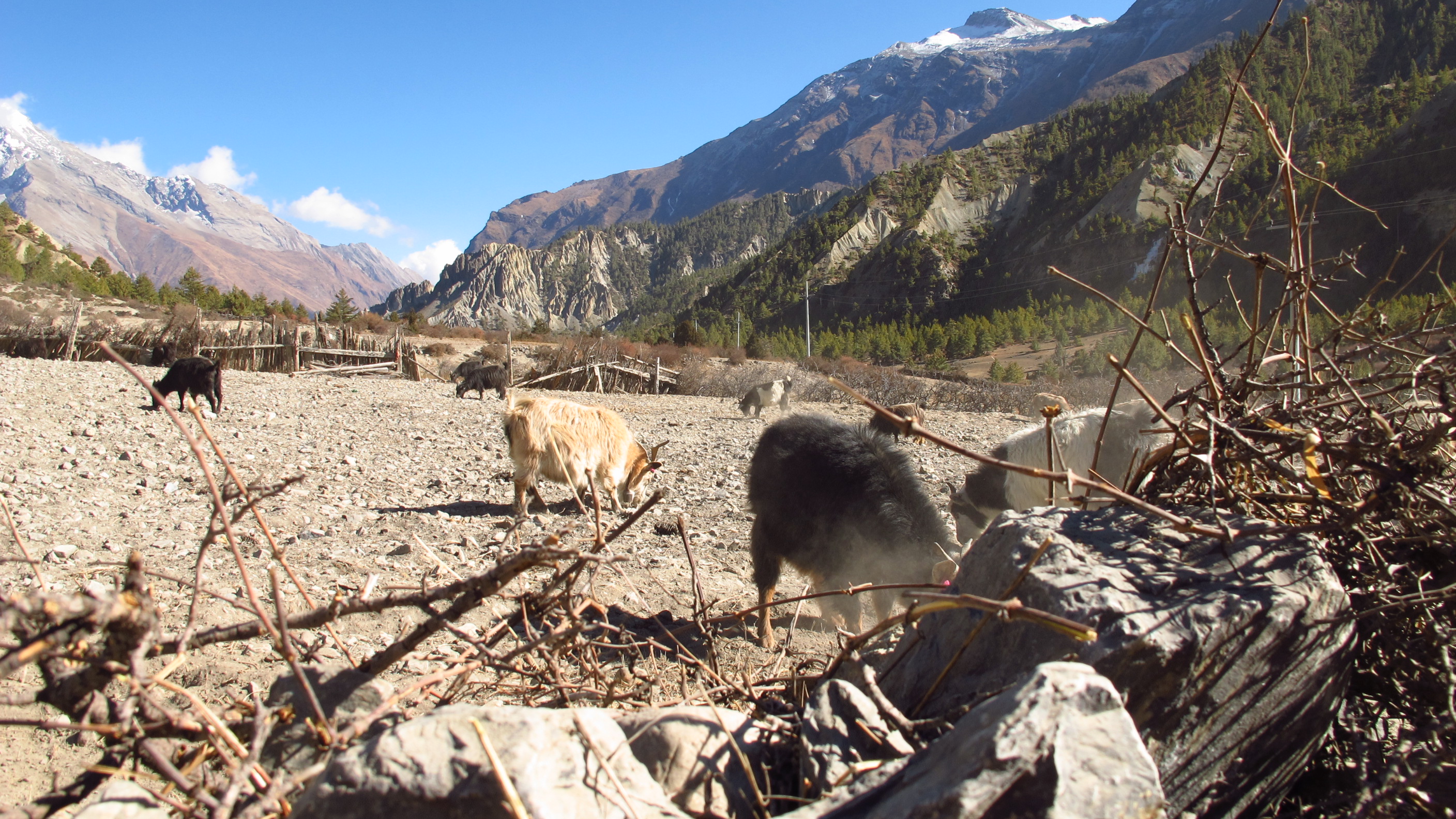
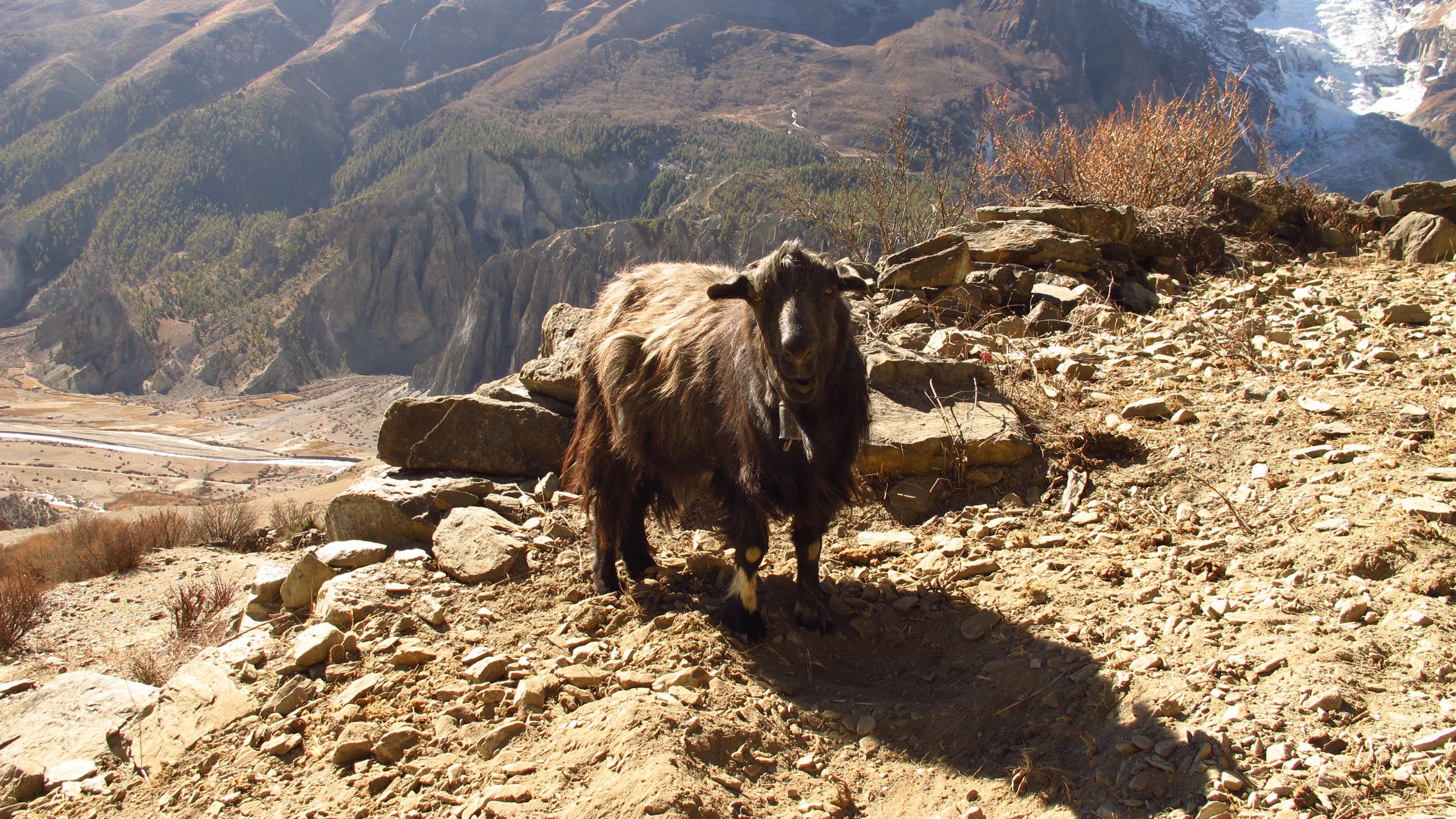
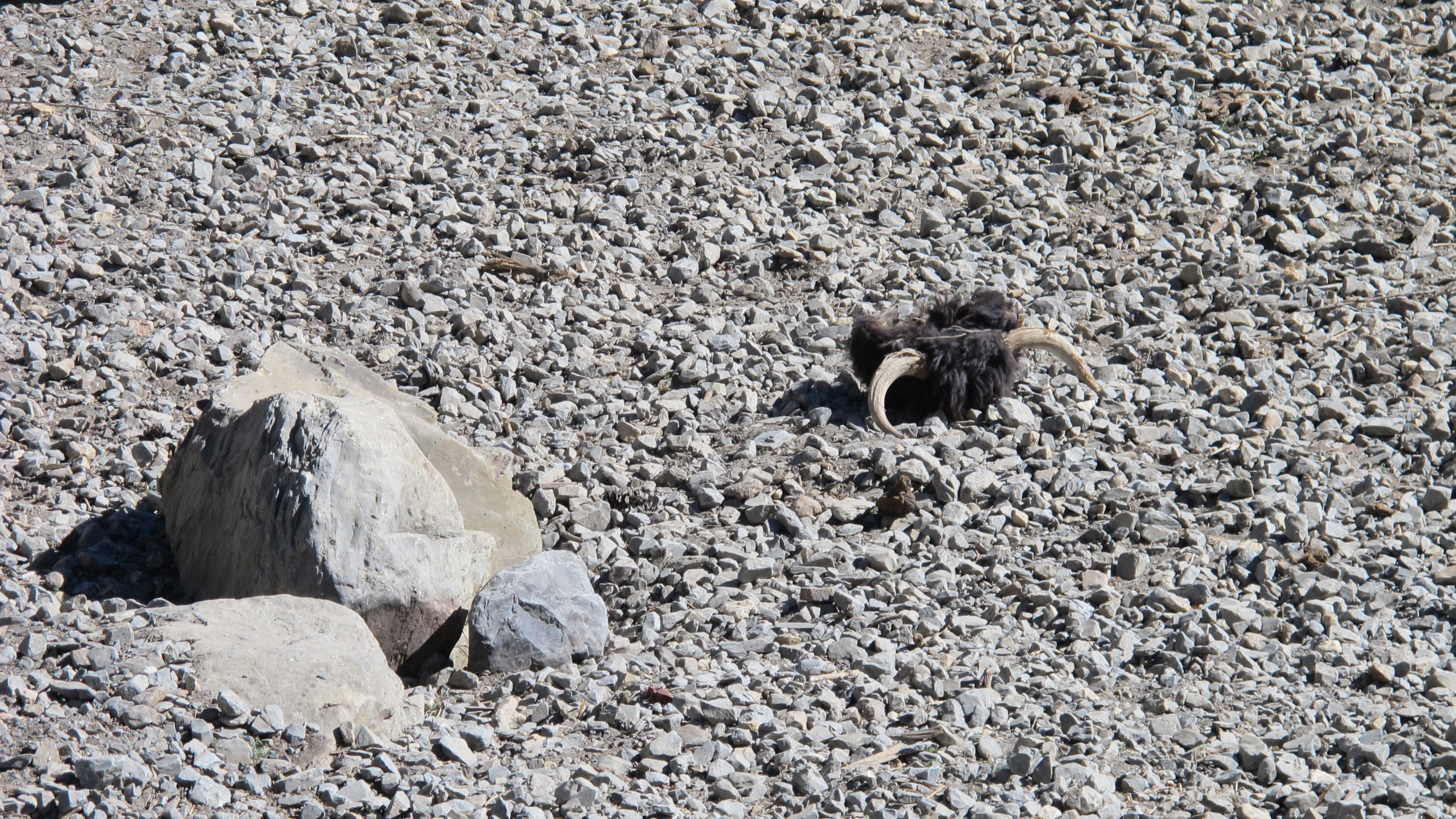
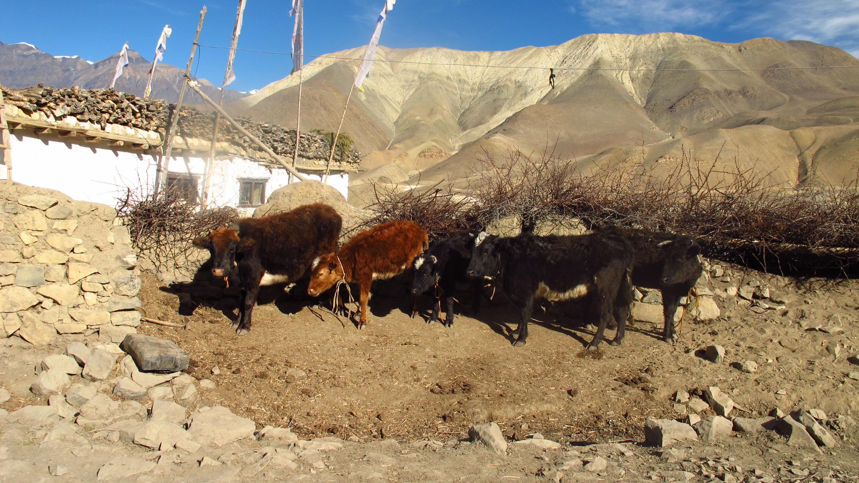
I was very disappointed to only see a few Yaks! They only live above 3000 metres as below this it is too warm…hahaha. I thought that I would see loads…but alas I did not.


The first port of call for the evening was finding a hotel or lodge, I opted for the Mountain Lake, a brick built building with a really warm feeling to it! The solar shower was lovely and warm and the dining room had a large stove in the middle that meant I was warm sitting watching TV with the family who owned the lodge. I sat and watched ‘India’s Got Talent’ with the family and it was funny to see how the program is very similar to the British version, but obviously there is a cultural difference with the type of dancing and singing etc.
Even when I went to bed it was warm…yays!
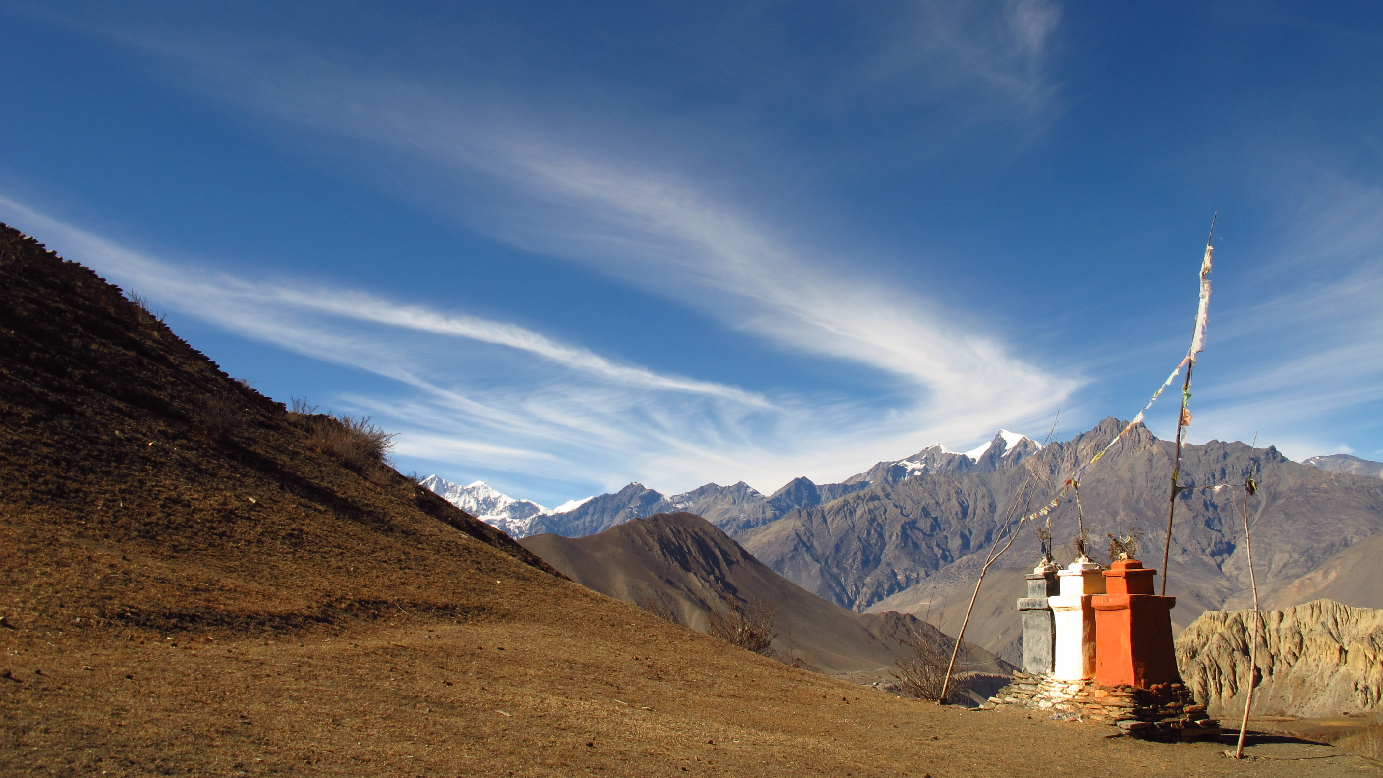
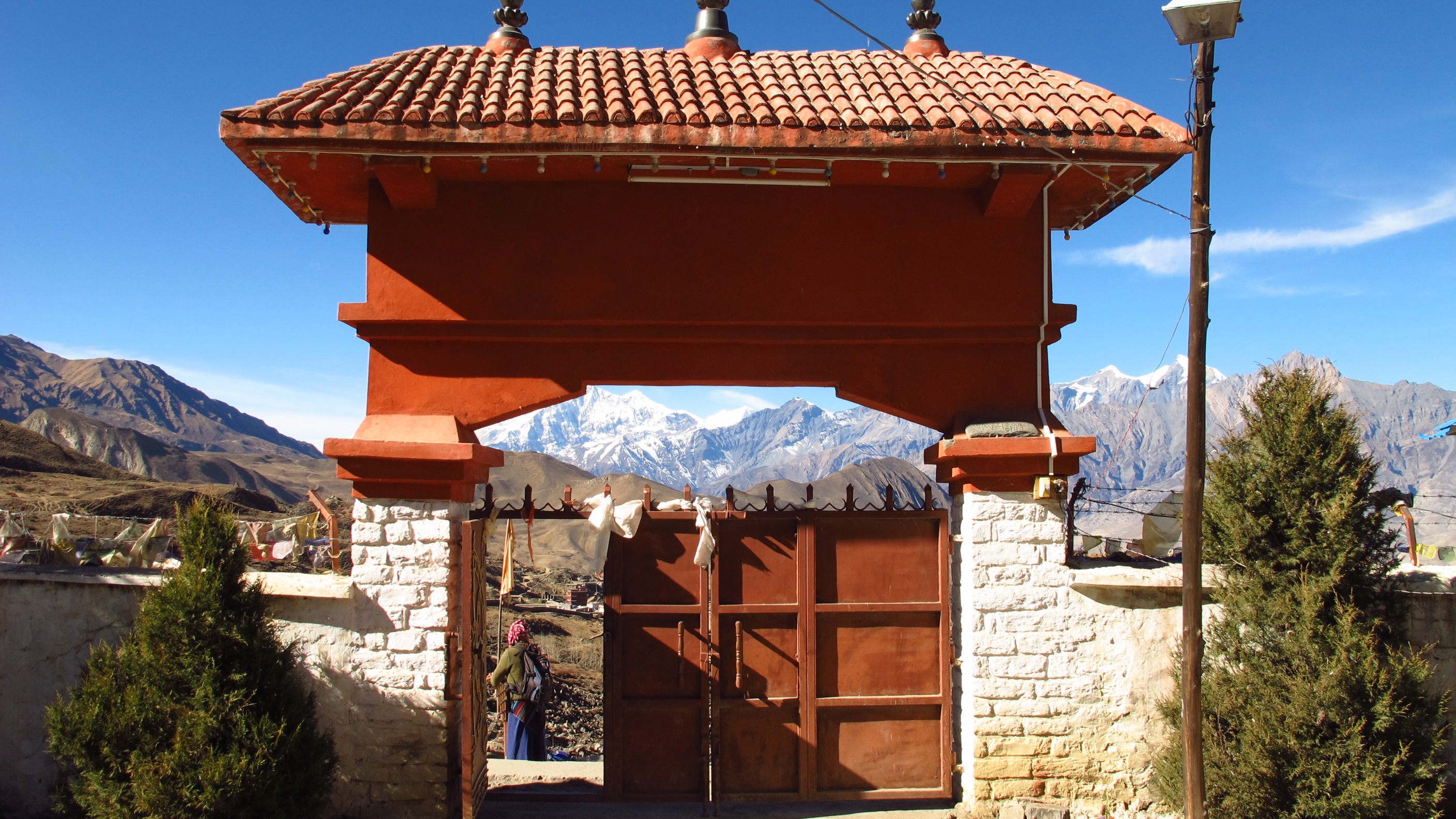
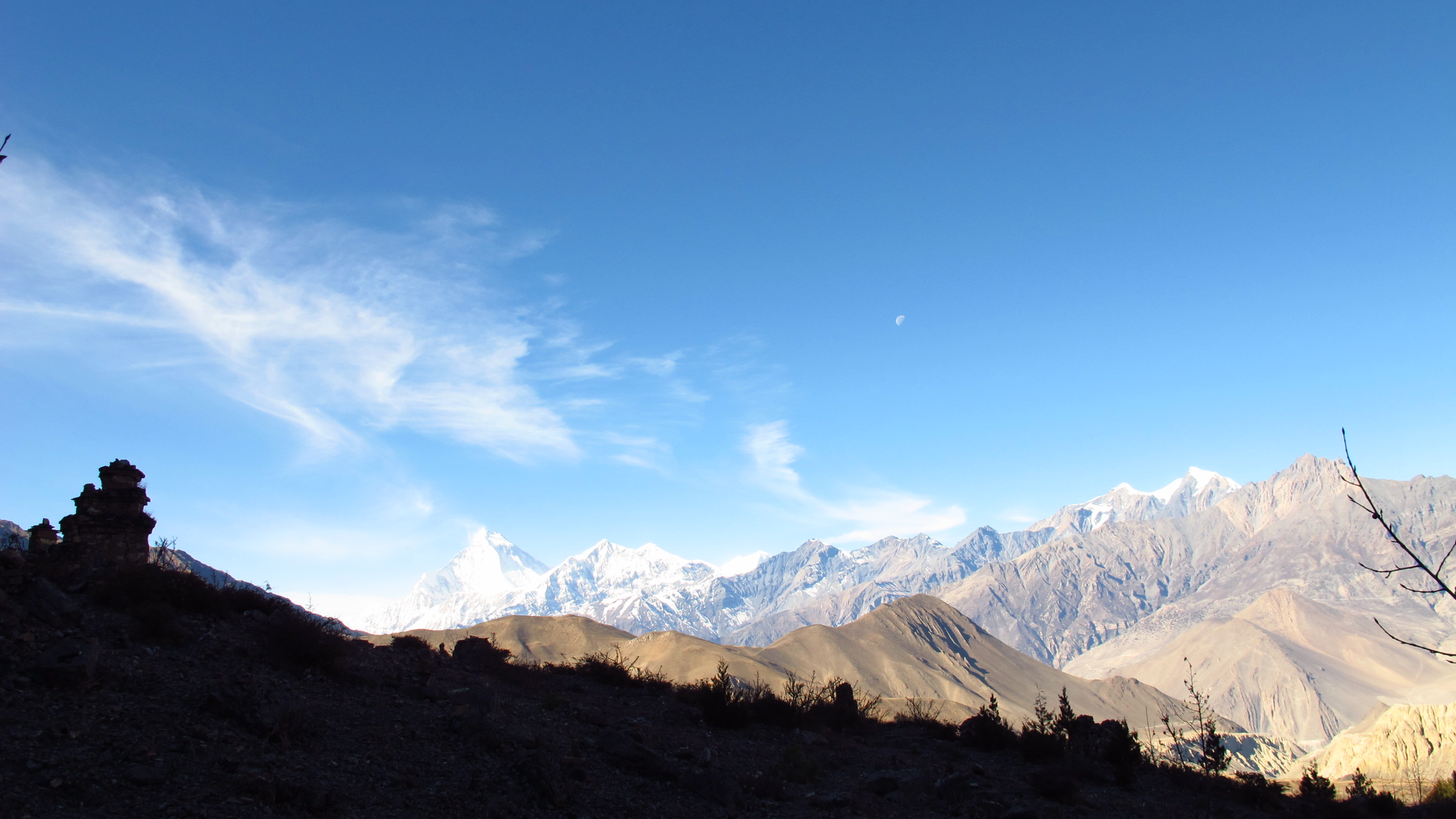
Day 7: Acclimatization day in Manang
Walked: 0 miles – risen: 0 metres
Today I am in Manang for acclimatization.
It is important to acclimatize before going further because otherwise you will get AMS and your brain might explode…well not quite, but you could get fluid around your brain or lungs due to the pressure and altitude.
I woke up quite late despite the belching cow outside and got up for a hearty breakfast in the lodge restaurant, sitting in the morning sun and feeling lovely and warm.
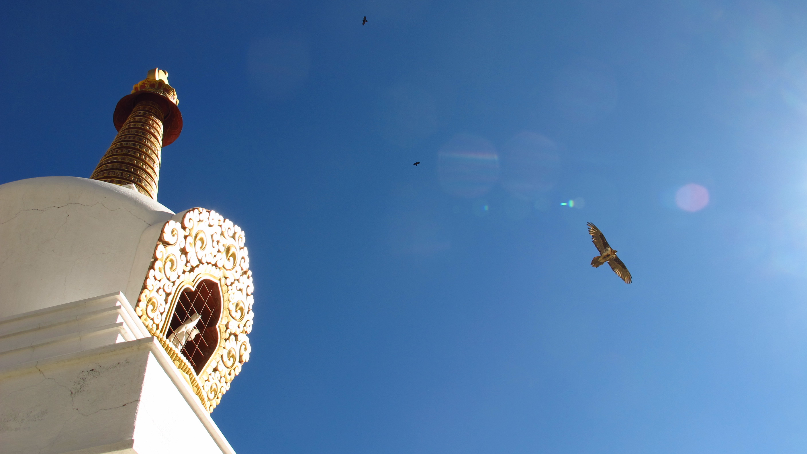
In the trekking guide it says to go out and do things like a short trek up quite high to help your body to deal with the altitude. I chose to go up the hill just outside the lodge, as there is a Buddhist Stupor and then a monastery above it. However, I only made it about two thirds of the way to the monastery as I was getting grumpy and moany and tired.
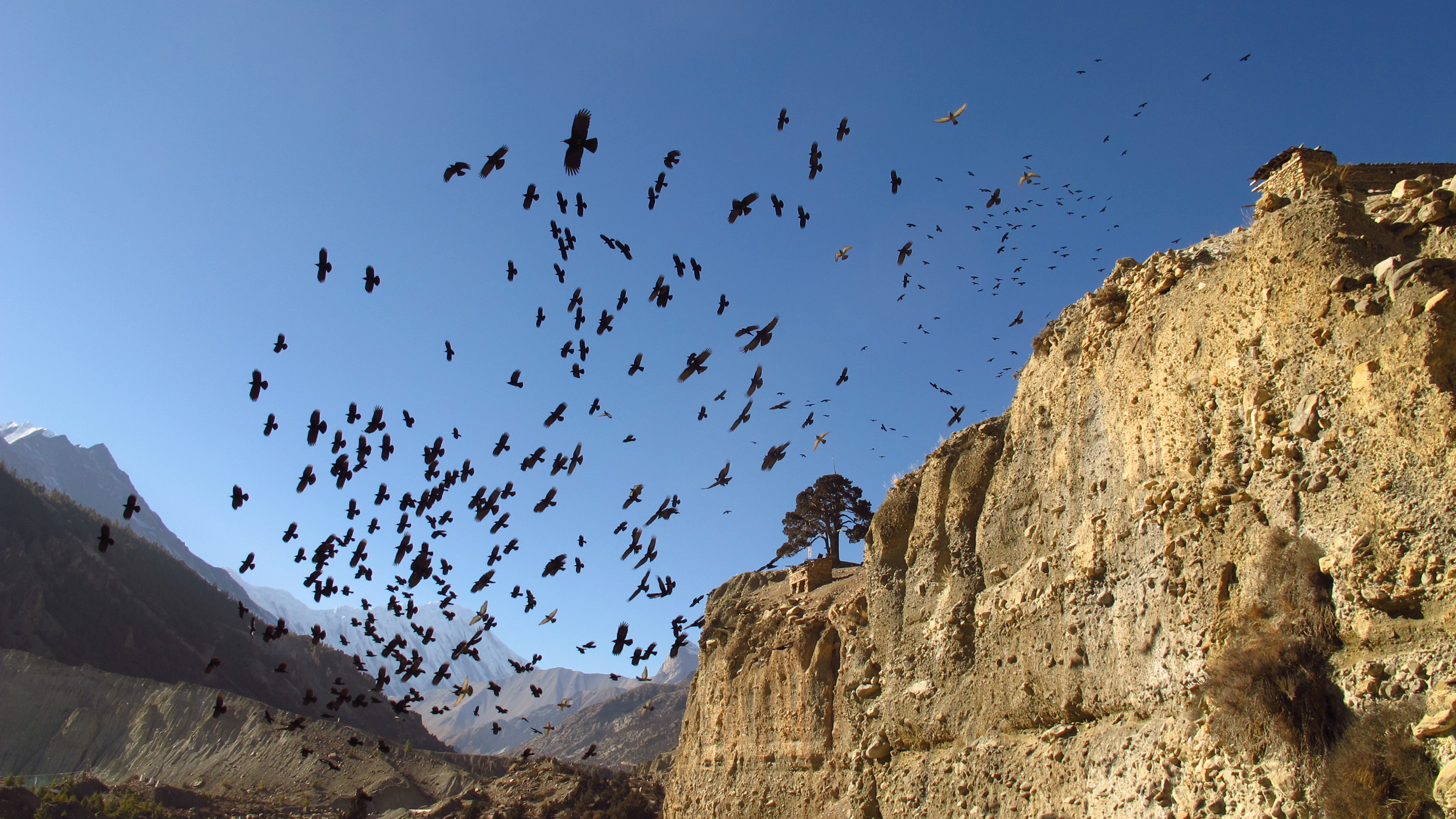
On my little trek I saw a lot of interesting wildlife. Most of this was the resident Goat herd. I never realized how stumpy Mountain Goats are before. They have tiny legs!!! I saw a Bearded Vulture, which is a big Vulture that has a 3 metre (or 15 ft) wingspan…epic! Also I spotted some White-Capped Redstart flitting around in the sky. I must have looked like I was struggling because the Vulture appeared to be circling and waiting for me to drop!
The views were just as amazing as going right up to the top, so I’m not too bothered! The walk down was much easier and I did it in a third of the time! I had a drink in the café nearby before moving back to the lodge to chill for a little while.
I’m glad that I chose the lodge, as it has lots of comfy places which are right in the sun, so you get lovely and roasty!
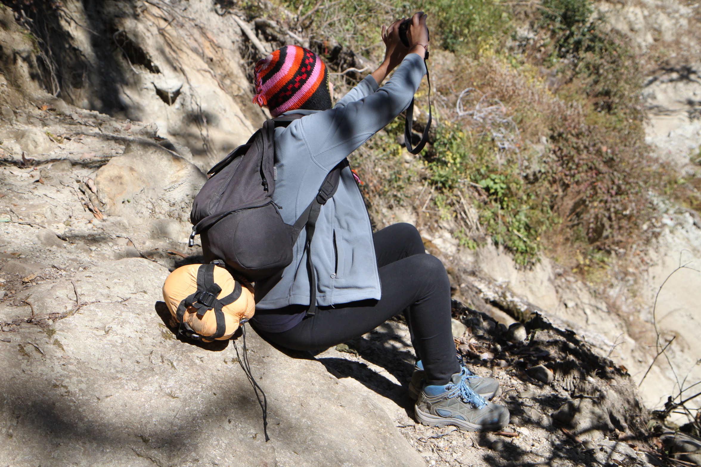
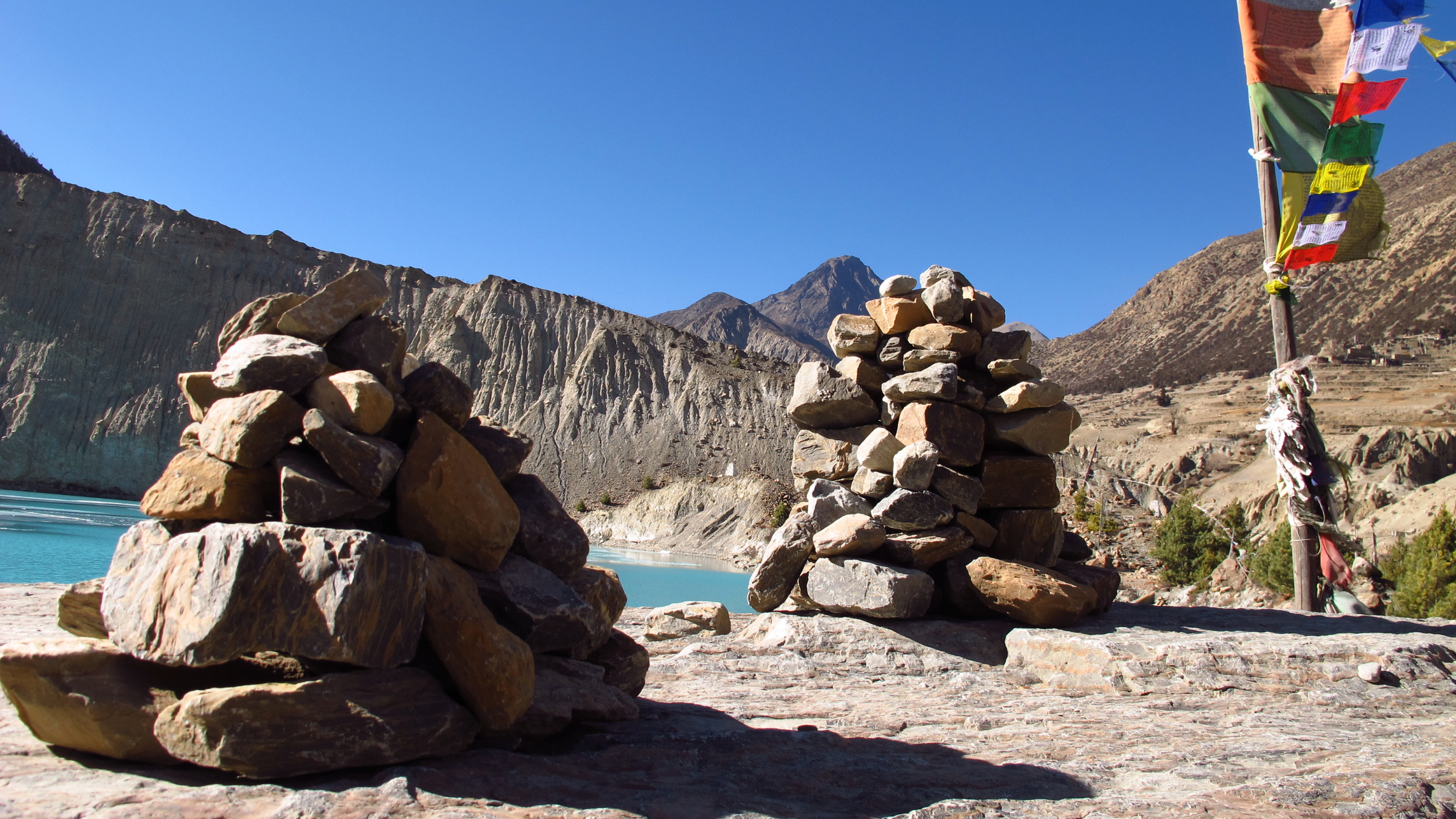
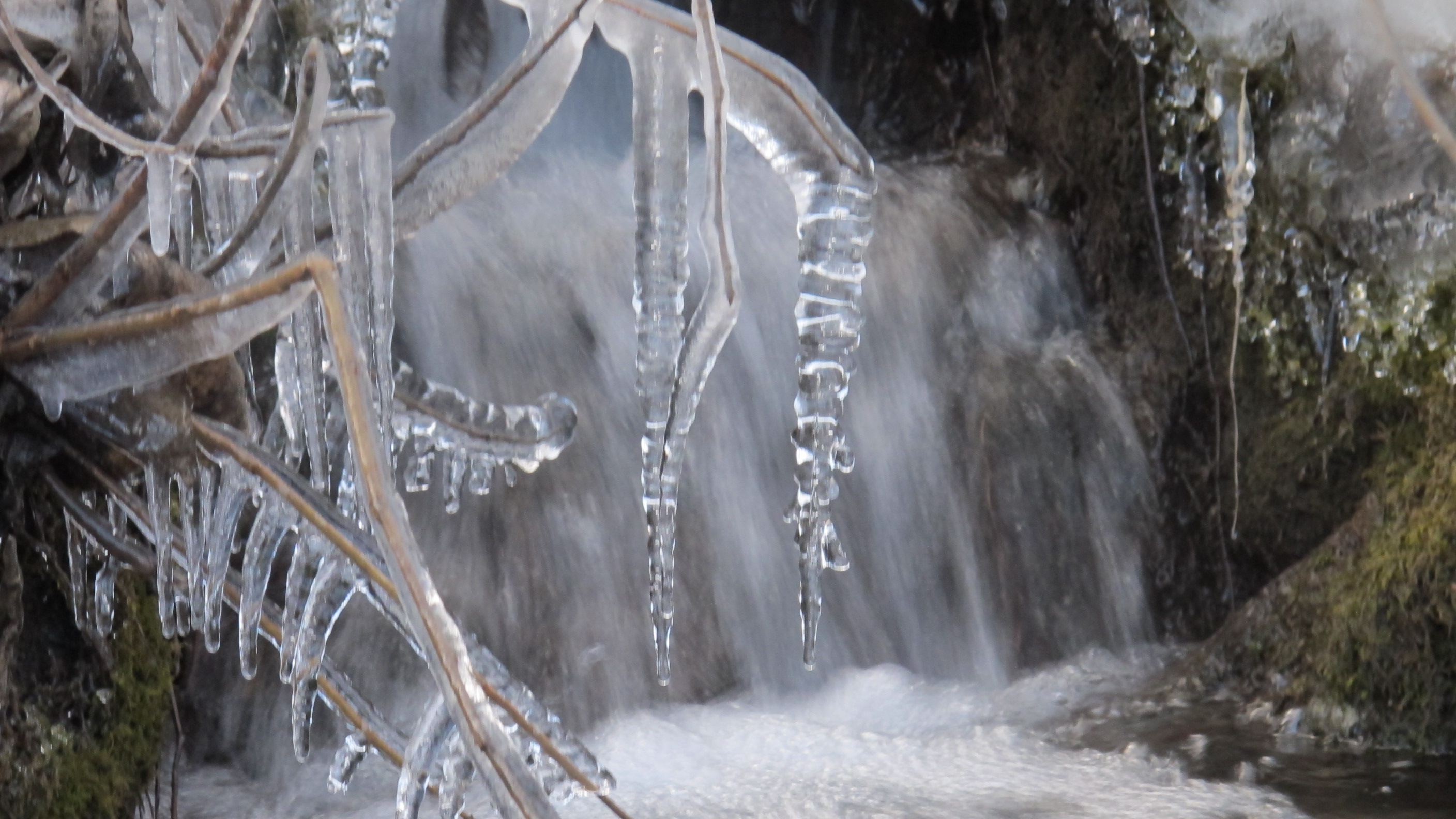
After my chillout, I decided to walk to the nearby Gangapurna Lake, which is fed from the Gangapurna Glacier above. I spent a short while there, taking photos and throwing rocks into the lake to try and break the ice. It was brilliant!


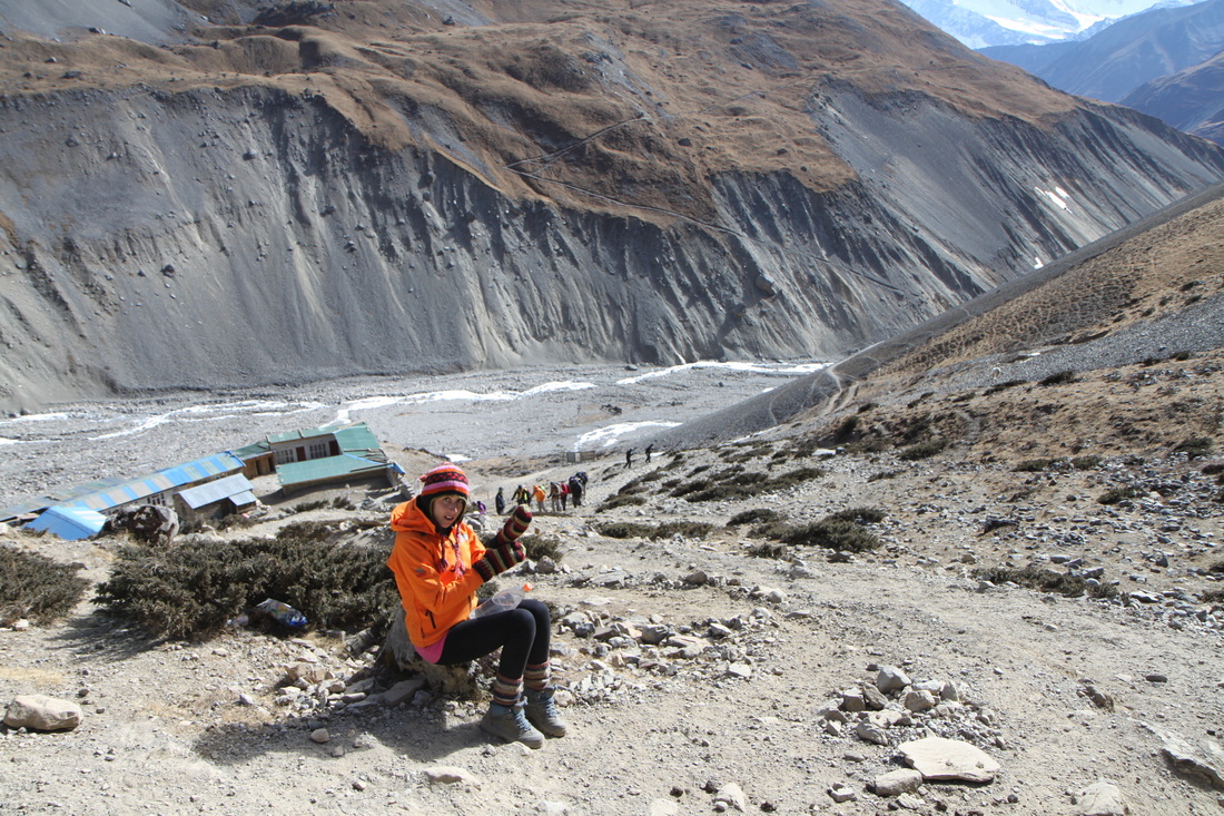
Day 8: Manang – Yak Kharka
Walked: 5.6 miles – risen: 480 metres
Waking up bright and early and having a large breakfast, I made my way out and towards Yak Kharka (yes…I love the name of this village too…).
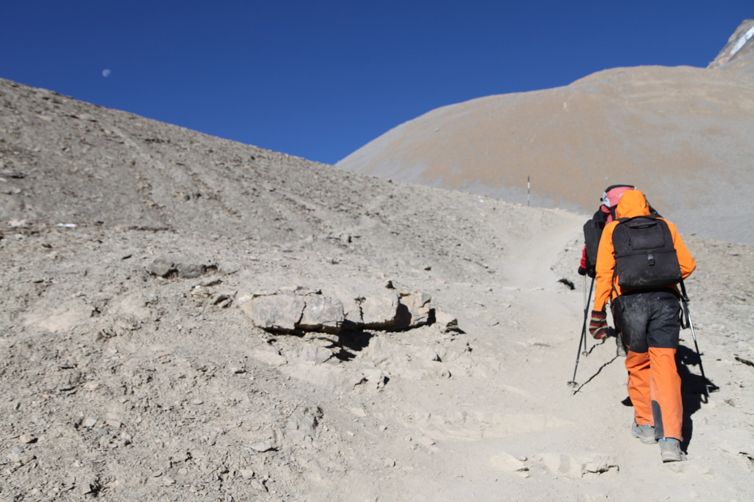
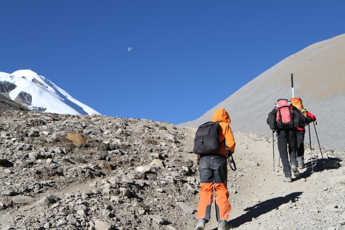
The first stretch of the day was quite tough! The journey should only take about 4-5 hours as it’s not too far, but it ascends very quickly, so you have to take it quite slowly so that your head doesn’t feel rough. I travelled through three villages today: Tengi, Gunsang and Gyanchang.
Tengi and Gunsang are very small, but Gyanchang was such a small place that I didn’t even know that I had passed through it!
Once in Yak Kharka I chose the Gangapurna Lodge. The rooms have lovely warm duvets and the restaurant has communal tables in the sun! Lovely and warm.
I decided to walk up the hill next to the hotel to help with the acclimatization…well I got up, but coming down was a massive hassle. I had a bit of a panic attack and did start crying! Once down, I went back to the lodge for the evening.


I spent the rest of the evening chatting to other trekkers in the dining hall. Some of the people that I have chatted to I had seen a few times before: Iris and Christian from near Stuttgart and a few Australian guys.
Day 9: Yak Kharka – Thorung Pedi
Walked: 5 miles – risen: 410 metres
I began the day lovely and warm in the dining hall with a little heater under the table as I ate breakfast! I thought that this was the highlight of cool!
Leaving the lodge at about 8am, I had a tough day as the air is so thin that it makes everything so much harder! It makes it hard to concentrate and hard to write as the words that you think in your head are not written down on the paper properly, so you get frustrated at your own incompetence!!!
Once at Thorung Pedi I slung my stuff into the room and went across to the dining room/social area and ate lunch whilst talking to the other trekkers.
I decided to take a walk up the hill towards the area that I will be walking to tomorrow when I go over the top…or so to speak.
I got about half way up to the ‘High Camp’ and decided that this was probably enough for one day…it was getting dark and I was very tired! Once back at the lodge I played ‘Connect 4’ and ‘Chess’ with other people staying there. We sat there all evening, chatting and playing games. It was an extremely pleasant way to pass the hours of the evening.


I went to bed with a sort of headache in the back of my head and neck…hopefully I won’t wake up with it in the morning…
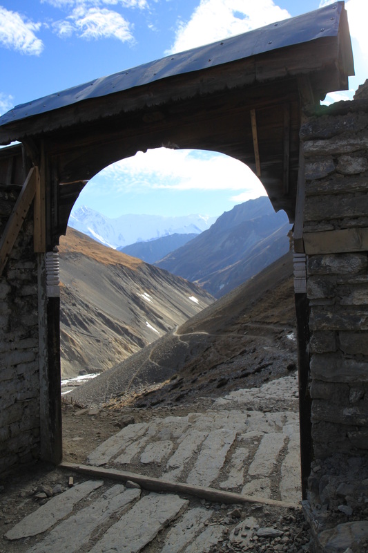
Day 10: Thorung Pedi – Thorung La – Muktinath
Walked: 9 miles – risen: 984 metres – Fallen: 1716 metres
Today was by far the least fun day of the trek. It is the day in which I go over the Pass.
I woke up with a terrible headache…obviously…I had had a rotten night’s sleep and had all been woken up at about 3.30am by the huge French group setting off and singing!!!
As I woke up and ordered breakfast for 5.30am I felt really rather crap for most of the beginning of the trek: I regretted having an omelet and I regretted drinking milk tea.
I teamed up with Iris and Christian and a few others to walk the trek today as it seemed a little safer: of all the days on the trek this would probably be the one that you might need safety in numbers, this is due to the difficulty of the days trekking. Apparently the ascent is too high, the altitude too much and the day too long for comfort…and an average of two people every year die doing this part of the trek!
As we got higher and higher into the trek I began to feel totally unable to put my feet one in front of the other and had to keep stopping every five to ten minutes to rest my weary feet. I lost momentum and did sit down and cry on two occasions due to the sheer frustration of it all.
Once we got to the top both me and Iris just burst into tears…for me it was just due to the fact that we had done it, we had got to the top and the only way now was down!
Unfortunately another member of the group was suffering with a headache and had begun to feel sick and tingly. I felt that the best course of action was to get them down the other side of the mountain as these symptoms could have been AMS. As we went down the mountain we had to keep stopping for a sit. Eventually through, we could see the tiny villages and we thought that when we arrive there we should eat, as we hadn’t had much since the breakfast at 5.30am!


I ordered a Rosti, but the food went mostly uneaten as I really just wasn’t feeling it at all.
From the restaurant I walked into Ranipauwa and checked into the ‘North Pole Lodge’, meeting up with Iris and Christian, who were in fact staying in the next room! I got refreshed in the lovely and amazingly hot shower and met up with everyone that we had seen the previous night in the restaurant. It was lovely to all be staying in the same hotel again! We chatted about who had taken the longest and who had felt rough, who had been the quickest and what everyone was doing from here: some of us wanted to take a rest day and chill out after the hard day that we had just had and others had to move on to the next part of their trek.
The food in the lodge was just amazing! I had chilli chips, but this wasn’t at all what I had expected. I thought that it would be chilli con carne on chips, however, it was in fact spicy chips that were so spicy that I couldn’t even have them in my mouth!!!
Day 11: Ranipawa
Walked: 0 miles – Fallen: 0 metres
I woke in the freezing little room and after a little pep-talk I finally got out of bed!
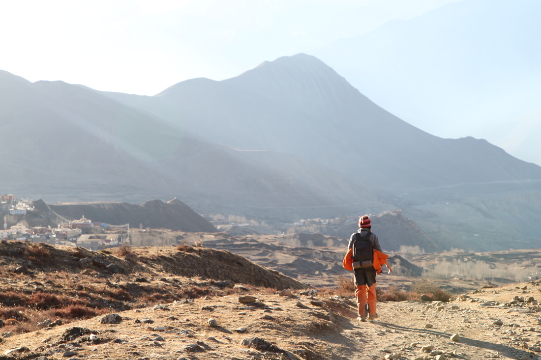
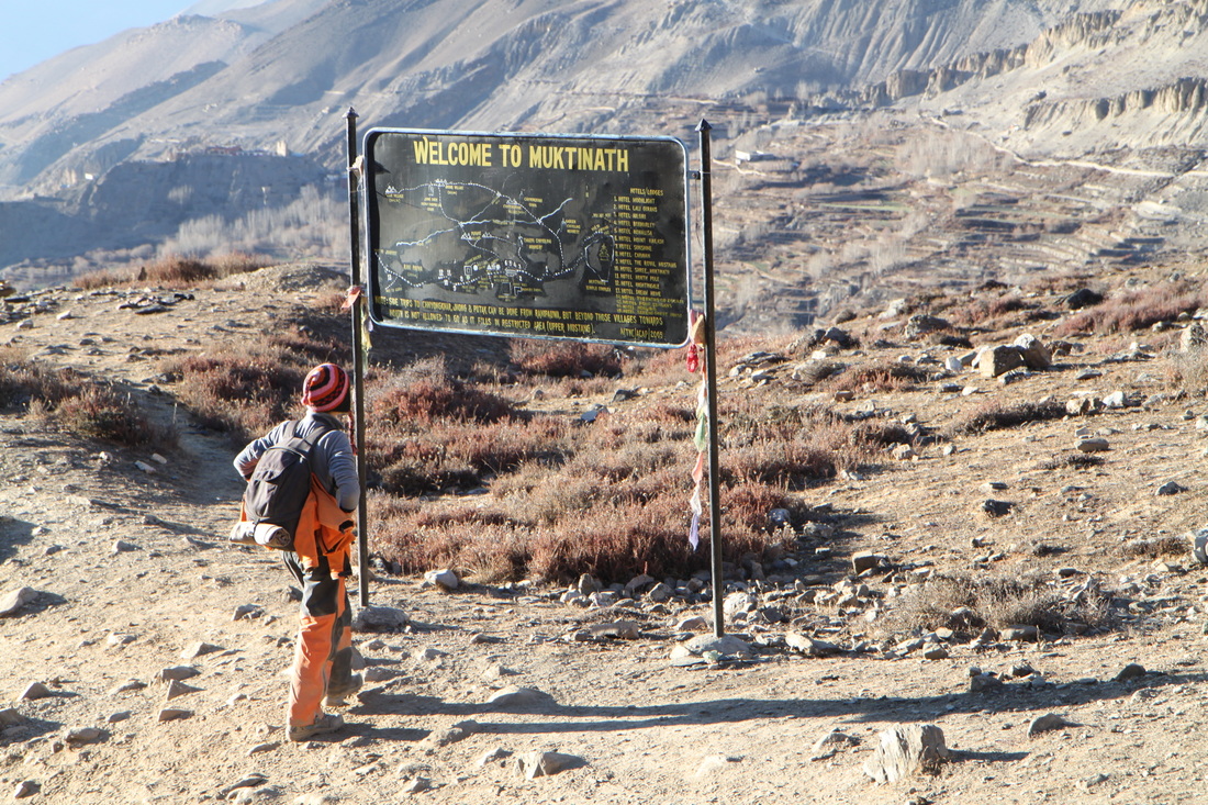
I went down to the dining room for a hearty breakfast that I couldn’t finish (as per normal) and then took a walk to the nearby Muktinath Temple and had a wander around taking photos. It was very relaxing to not have to worry about actually trekking. The temples were quite lovely. It was very pleasant to be sat next to the fountains and bells in the calm quiet of the village and just sit and think.
Following this I decided to go and visit other places nearby. First, a nearby village that felt like a very basic place: there were no shops or cars. Only basic buildings that all had some sort of animal pen or farmyard style garden.

I was a little hungry and so decided to eat back at the lodge. I had the best Tomato, Cheese and Tuna sandwich that I have ever eaten. I didn’t even want to eat the chips, only the sandwich, which is very unlike me!
Iris and Christian came up and we sat chatting for a while before they went off to have a wander and I went off to find the internet. I didn’t find it.
Admitting defeat, I went back to the freezing cold room and promptly fell asleep in my sleeping bag in bed! It wasn’t until someone knocking on the door woke me up…I got up and found out that the guide and porters of a large group staying at the lodge had literally knocked on every door in the lodge and told people to come down for dinner.
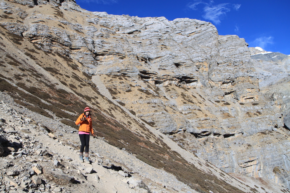
Day 12: Muktinath – Jomsom
[And bus from Jomsom – Ghasa]
Walked: 10.9 miles – Fallen: 1690 metres
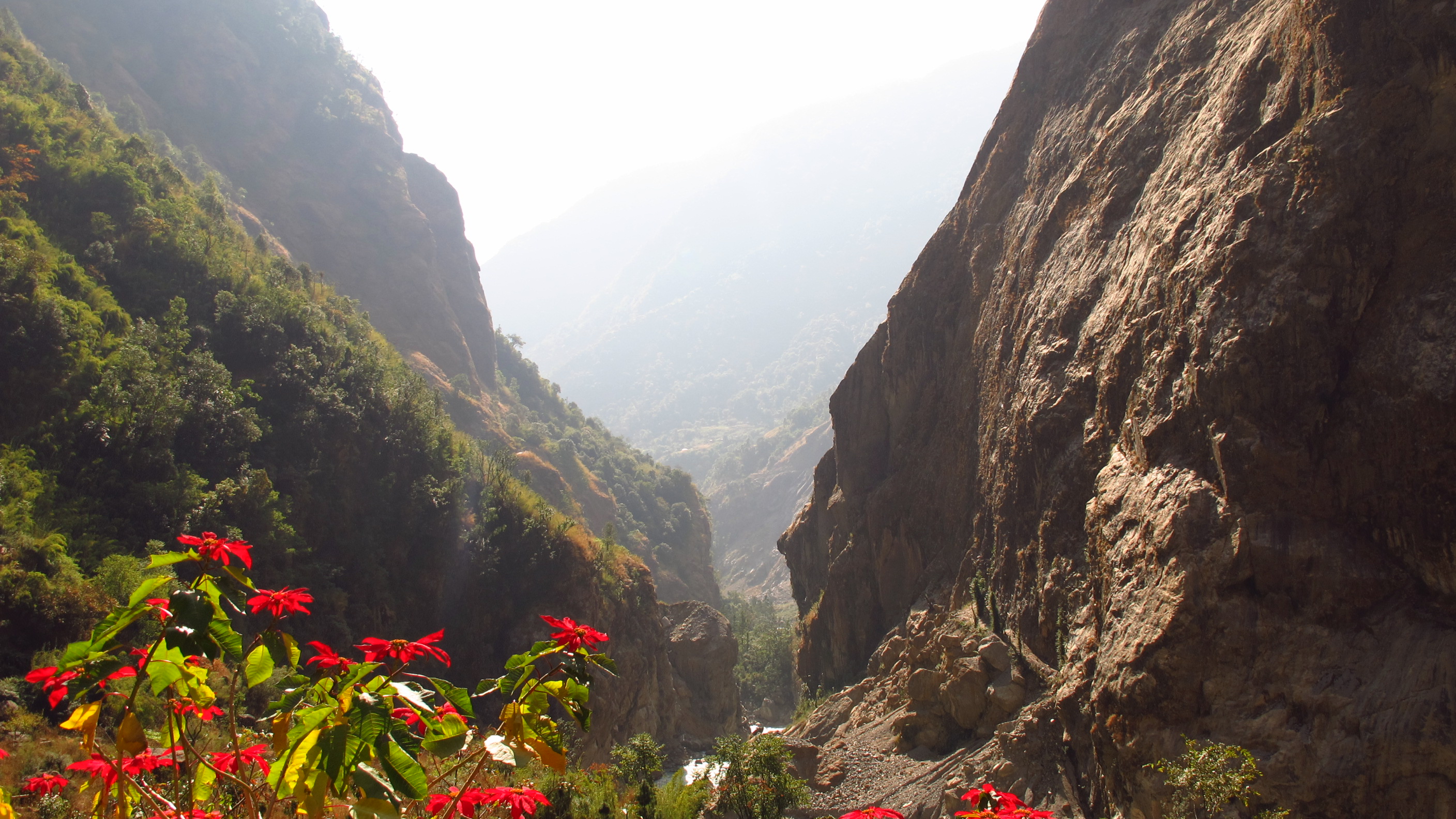
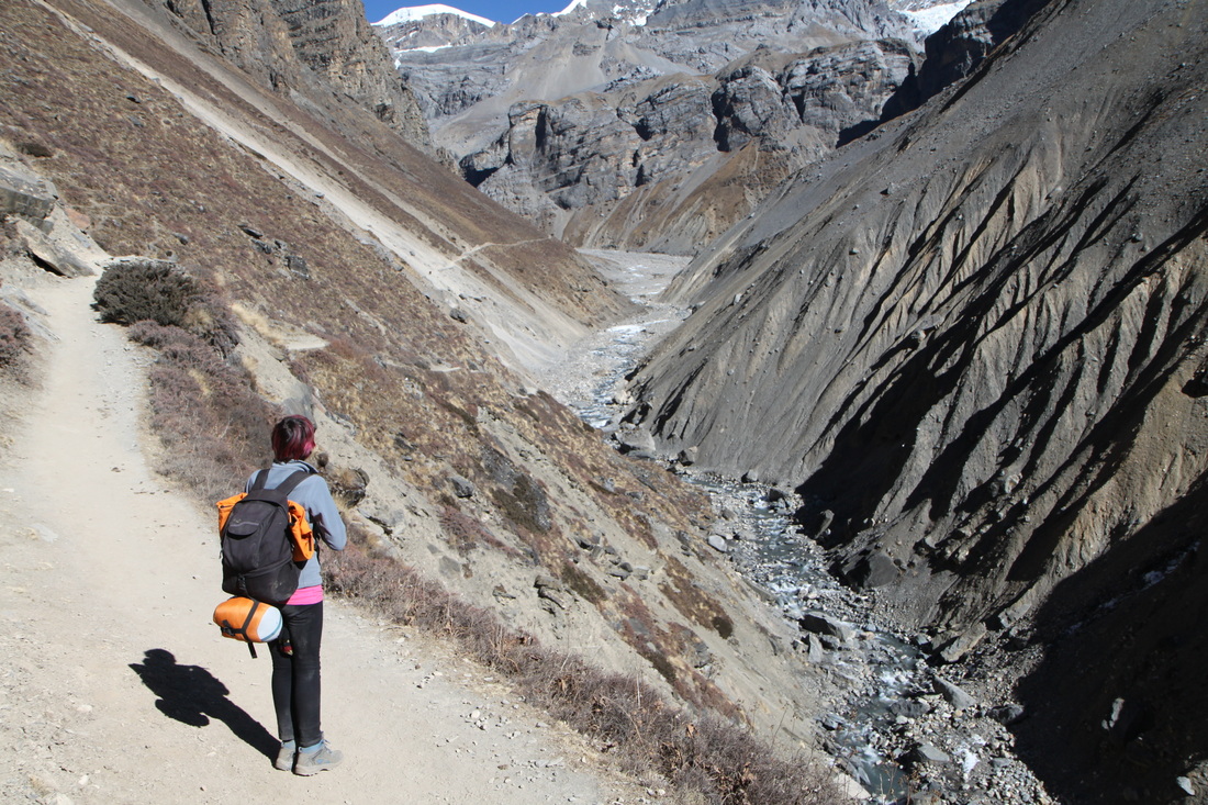
The walk from Ranipauwa to Kagbeni was amazing; It felt like I was walking on Mars!
Some of the rocks on the opposite side of the gorge were oddly shaped and looked as if they could be habitable. Some of it looked like the Mos Eisely Cantina from Star Wars!!!
This stretch took a little over two hours. It was mostly downhill, with some short upward sections, so quite easy. The interesting scenery made it go by very quickly because I kept stopping to take photos of everything! As I reached Kagbeni it was unclear which path to take. Eventually I spotted some porters and followed their route into the village.
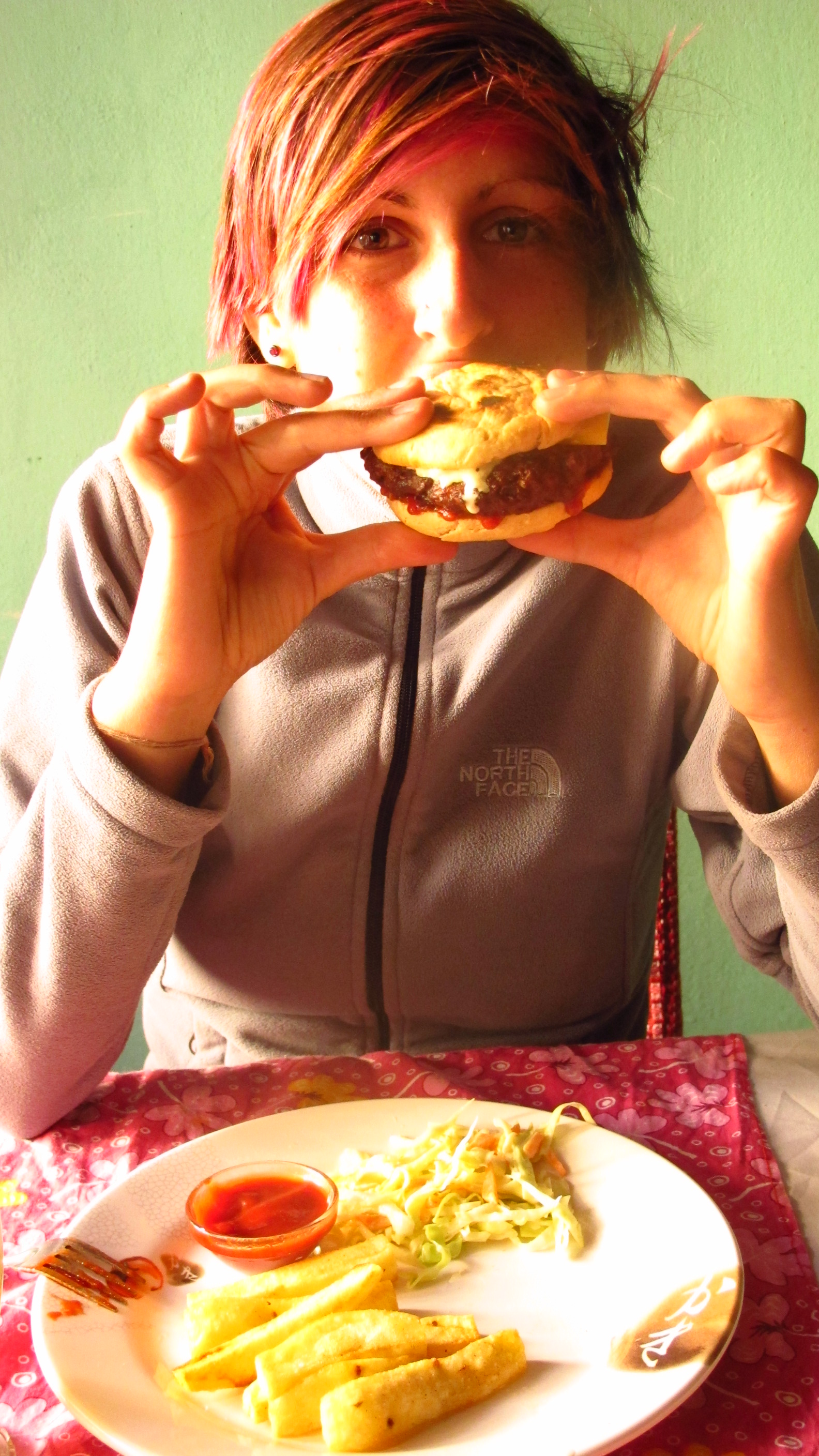
In the trek guide it tells you that in Kagbeni there is a restaurant called ‘YakDonalds’…like MacDonald’s but with Yak. I got a Yak burger and a veg burger and some Seabuckthorn Juice. It was delicious. I never thought that I would be eating Yak! It tasted just like Beef really…
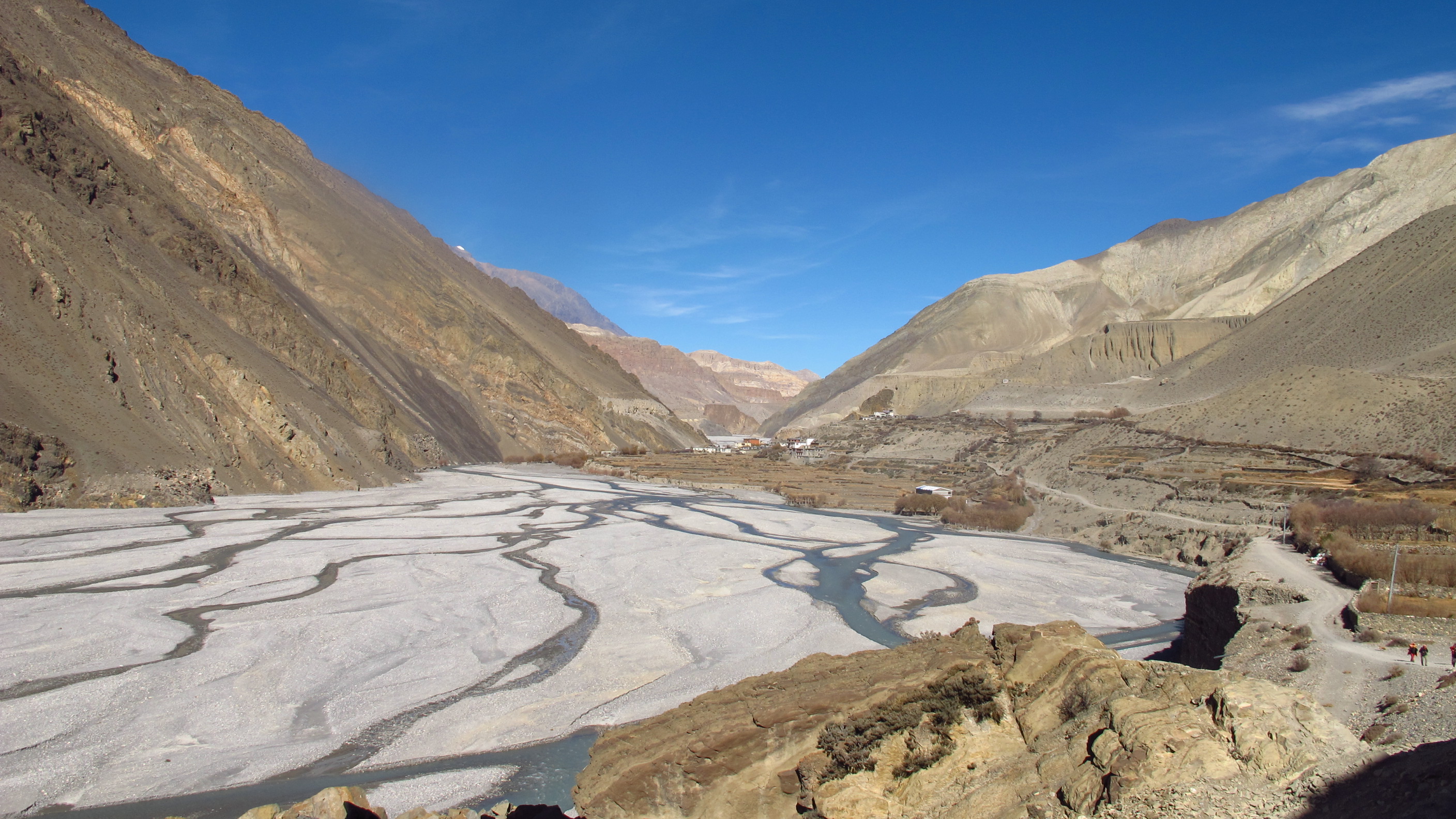
From Kagbeni it was a very flat and windy walk through and along the riverbed to Jomsom. At times the path was not clear and I had to just walk towards the towns outline in the distance. The river, this time of year, is nothing more than a dribble of water through the sand and it was very easy to walk through. It did seem to go on forever though! Eventually I did come to the town and went in search of the infamous ATM!!!


From here on I got the bus, so technically I wasn’t trekking…however I will include the bus rides in as they are getting me from one part of the trek to another!
So…the buses in Nepal are pretty hair raising to say the very least! At some points on the journey from Jomsom to Ghasa, I (who was sitting by the window) could not see the road, only the million foot drop down!
I was at points feeling a little tearful and extremely fearful for my life!
Day 13: Ghasa – Pokhara
Walked: 0 miles – Fallen: 1170 metres
I had to take a bus from Ghasa to Beni and then change to get on another bus to Pokhara. Most of the journey was spent fearing for my life! The first bus was pretty hair raising as it was a local bus, packed to the rafters with people…it went round some of the corners and cliffs but I don’t know how it got round!
The second bus was better…it was a bigger bus and we were on better roads. The roads were labeled as ‘Highway’ on my map, but I don’t think that you could actually class them as that. They were still right on the edge of the mountains!
